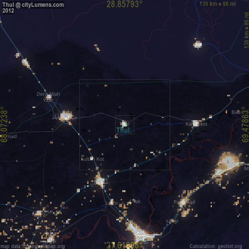
Thul night lights from space
Night Light of Thul (Sindh) from space (Pakistan) Src. Average luminocity for 10x10km area is 10.6389% and for 50x50km: 1.326%.
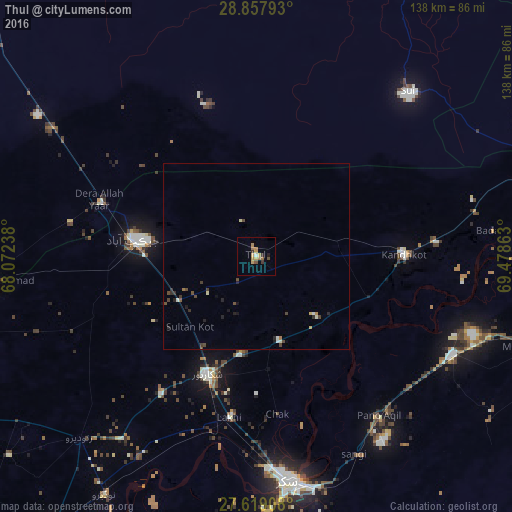
Analysis of Thul night lights 2016
Square area 10x10 km:
 0%
0%90-99
0.79%80-89
1.19%70-79
2.98%60-69
3.57%50-59
1.79%40-49
0.79%30-39
1.59%20-29
0.79%10-19
0.79%0-9
85.71%Square area 50x50 km:
0.02%90-99
0.21%80-89
0.15%70-79
0.15%60-69
0.21%50-59
0.11%40-49
0.47%30-39
0.27%20-29
0.35%10-19
0.21%0-9
97.86%Clear (daylight) street map image can be seen on geolist.org.
Map coordinates:
28° 51' 28.5" North, 68° 4' 20.6" East
28° 14' 25.1" North, 68° 46' 31.8" East
27° 37' 8.7" North, 69° 28' 43.1" East
Some cities around Thul sort by population:
• Jacobabad
33.4 km =20.8 mi,  277°
277°
• Shikarpur
34.4 km =21.4 mi,  203°
203°
• Kandhkot
39.6 km =24.6 mi,  89°
89°
• Ghauspur
32.1 km =19.9 mi,  110°
110°
• Chak
42.8 km =26.6 mi,  172°
172°
• Tangwani
22.2 km =13.8 mi,  78°
78°
• Rustam
30.5 km =19 mi, 174°
• Sohbatpur
38.6 km =24 mi,  323°
323°
1163414 (p: 34,472)
Sources (retrieved 2019-11-25):
» Earth at Night: Flat Maps 2012, 2016