Jacobabad night lights from space
Night Light of Jacobabad (Sindh) from space (Pakistan) Src. Average luminocity for 10x10km area is 37.6548% and for 50x50km: 2.7669%.
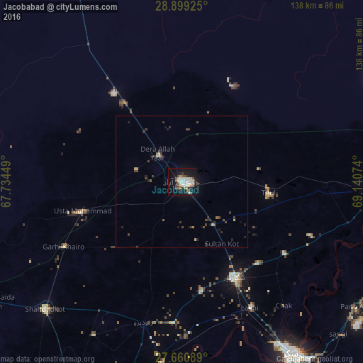
Analysis of Jacobabad night lights 2016
Square area 10x10 km:
 7.94%
7.94%90-99
11.51%80-89
2.18%70-79
0.99%60-69
5.36%50-59
3.57%40-49
4.96%30-39
4.17%20-29
3.97%10-19
34.92%0-9
20.44%Square area 50x50 km:
0.31%90-99
0.55%80-89
0.19%70-79
0.12%60-69
0.25%50-59
0.27%40-49
0.68%30-39
0.68%20-29
0.62%10-19
2.11%0-9
94.22%Clear (daylight) street map image can be seen on geolist.org.
Map coordinates:
28° 53' 57.3" North, 67° 44' 4.2" East
28° 16' 54.7" North, 68° 26' 15.4" East
27° 39' 39.2" North, 69° 8' 26.7" East
Some cities around Jacobabad sort by population:
• Shikarpur
41.3 km =25.7 mi,  151°
151°
• Usta Muhammad
40.3 km =25 mi,  253°
253°
• Mehrabpur
44.8 km =27.8 mi,  244°
244°
• Thul
33.4 km =20.8 mi,  97°
97°
• Garhiyasin
42.4 km =26.3 mi,  170°
170°
• Garhi Khairo
51.1 km =31.8 mi, 241°
• Rustam
50.2 km =31.2 mi,  134°
134°
• Sohbatpur
28.5 km =17.7 mi,  21°
21°
1176515 (p: 170,588)
Sources (retrieved 2019-11-25):
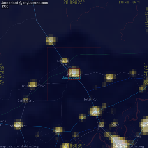
» NASA, Earths city lights 1995
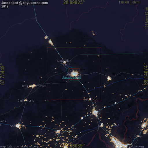
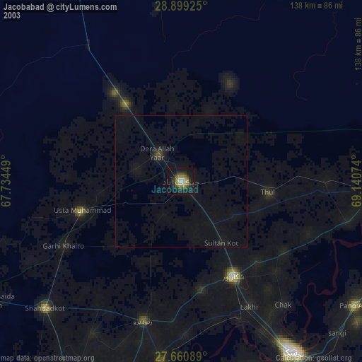
» NASA city lights 2003
» Earth at Night: Flat Maps 2012, 2016