Ghauspur night lights from space
Night Light of Ghauspur (Sindh) from space (Pakistan) Src. Average luminocity for 10x10km area is 0.2973% and for 50x50km: 2.6002%.
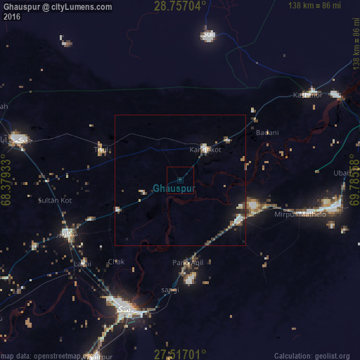
Analysis of Ghauspur night lights 2016
Square area 10x10 km:
 0%
0%90-99
0%80-89
0%70-79
0%60-69
0%50-59
0%40-49
0%30-39
0%20-29
0%10-19
1.7%0-9
98.3%Square area 50x50 km:
0.23%90-99
0.59%80-89
0.2%70-79
0.09%60-69
0.43%50-59
0.11%40-49
0.8%30-39
0.39%20-29
0.32%10-19
1.5%0-9
95.32%Clear (daylight) street map image can be seen on geolist.org.
Map coordinates:
28° 45' 25.3" North, 68° 22' 45.6" East
28° 8' 19.8" North, 69° 4' 56.8" East
27° 31' 1.2" North, 69° 47' 8.1" East
Some cities around Ghauspur sort by population:
• Kandhkot
15.2 km =9.4 mi,  38°
38°
• Pano Aqil
31.6 km =19.6 mi,  174°
174°
• Ghotki
27.3 km =17 mi,  123°
123°
• Thul
32.1 km =19.9 mi,  290°
290°
• Chak
39.6 km =24.6 mi,  218°
218°
• Tangwani
17.7 km =11 mi,  331°
331°
• Rustam
33.3 km =20.7 mi,  235°
235°
• Adilpur
32.3 km =20.1 mi,  134°
134°
1178560 (p: 29,767)
Sources (retrieved 2019-11-25):
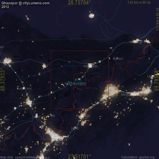
» Earth at Night: Flat Maps 2012, 2016