Kandhkot night lights from space
Night Light of Kandhkot (Sindh) from space (Pakistan) Src. Average luminocity for 10x10km area is 14.4266% and for 50x50km: 3.1417%.
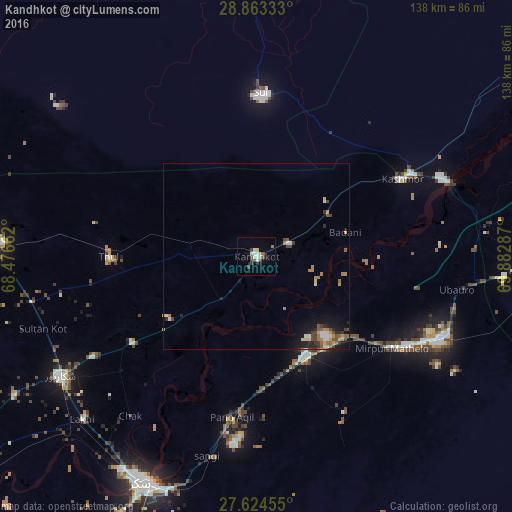
Analysis of Kandhkot night lights 2016
Square area 10x10 km:
 1.39%
1.39%90-99
4.17%80-89
0.79%70-79
0.79%60-69
1.59%50-59
0.2%40-49
5.95%30-39
1.79%20-29
0%10-19
0.2%0-9
83.13%Square area 50x50 km:
0.25%90-99
0.53%80-89
0.27%70-79
0.37%60-69
0.6%50-59
0.41%40-49
0.74%30-39
0.42%20-29
0.51%10-19
1.67%0-9
94.23%Clear (daylight) street map image can be seen on geolist.org.
Map coordinates:
28° 51' 48" North, 68° 28' 35.8" East
28° 14' 44.7" North, 69° 10' 47.1" East
27° 37' 28.4" North, 69° 52' 58.3" East
Some cities around Kandhkot sort by population:
• Pano Aqil
43.8 km =27.2 mi,  188°
188°
• Ghotki
30 km =18.6 mi,  153°
153°
• Mirpur Mathelo
44 km =27.3 mi,  124°
124°
• Thul
39.6 km =24.6 mi,  269°
269°
• Kashmor
44.7 km =27.8 mi,  62°
62°
• Ghauspur
15.2 km =9.4 mi,  218°
218°
• Tangwani
18.2 km =11.3 mi,  281°
281°
• Adilpur
37 km =23 mi,  158°
158°
1175021 (p: 88,468)
Sources (retrieved 2019-11-25):
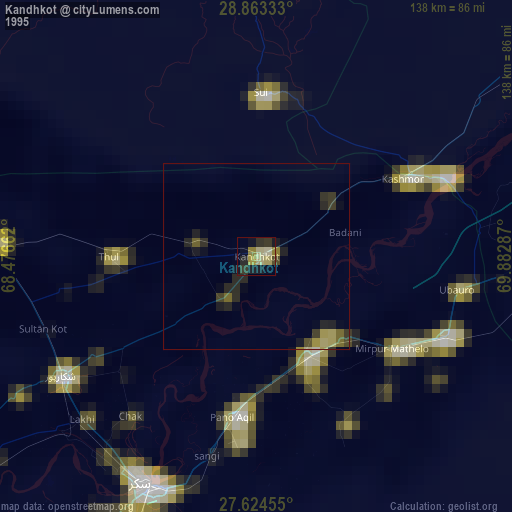
» NASA, Earths city lights 1995
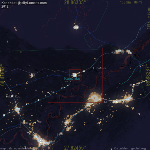
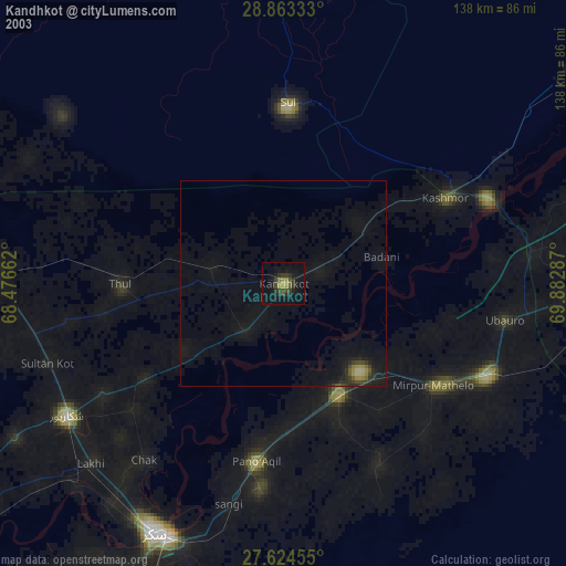
» NASA city lights 2003
» Earth at Night: Flat Maps 2012, 2016