Shikarpur night lights from space
Night Light of Shikarpur (Sindh) from space (Pakistan) Src. Average luminocity for 10x10km area is 29.6042% and for 50x50km: 4.854%.
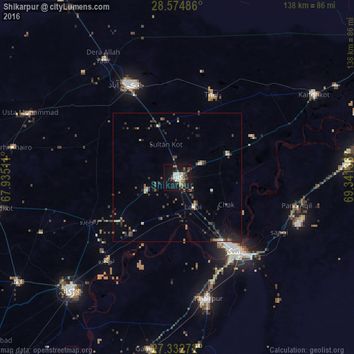

Analysis of Shikarpur night lights 2016
Square area 10x10 km:
 0.57%
0.57%90-99
10.04%80-89
2.27%70-79
2.46%60-69
2.65%50-59
4.55%40-49
6.06%30-39
4.17%20-29
4.92%10-19
35.8%0-9
26.52%Square area 50x50 km:
0.05%90-99
1.02%80-89
0.25%70-79
0.25%60-69
0.47%50-59
0.61%40-49
1.47%30-39
1.29%20-29
1.39%10-19
3.45%0-9
89.75%Clear (daylight) street map image can be seen on geolist.org.
Map coordinates:
28° 34' 29.5" North, 67° 56' 6.4" East
27° 57' 20.1" North, 68° 38' 17.6" East
27° 19' 57.8" North, 69° 20' 28.9" East
Some cities around Shikarpur sort by population:
• Sukkur
35.5 km =22.1 mi,  142°
142°
• Thul
34.4 km =21.4 mi,  23°
23°
• Garhiyasin
13.5 km =8.4 mi,  246°
246°
• Madeji
29 km =18 mi,  219°
219°
• Chak
22 km =13.7 mi,  119°
119°
• Lakhi
13.3 km =8.3 mi,  153°
153°
• Rustam
16.3 km =10.1 mi,  85°
85°
• Bagarji
25.3 km =15.7 mi, 152°
1165108 (p: 156,901)
Sources (retrieved 2019-11-25):
» NASA, Earths city lights 1995
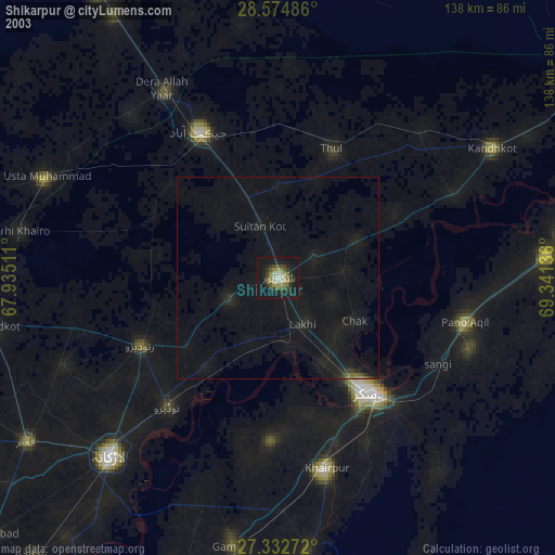
» NASA city lights 2003
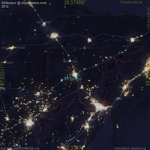
» Earth at Night: Flat Maps 2012, 2016