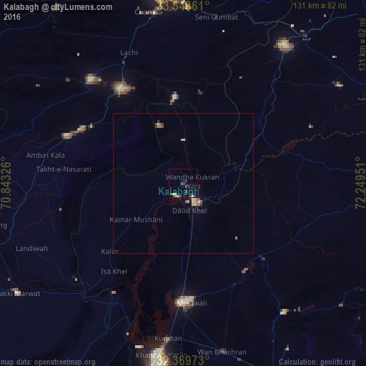
Kalabagh night lights from space
Night Light of Kalabagh (Punjab) from space (Pakistan) Src. Average luminocity for 10x10km area is 6.696% and for 50x50km: 1.0846%.
Analysis of Kalabagh night lights 2016
Square area 10x10 km:
 0%
0%90-99
1.1%80-89
0.92%70-79
0.55%60-69
0.18%50-59
0.18%40-49
1.83%30-39
2.2%20-29
2.93%10-19
2.93%0-9
87.18%Square area 50x50 km:
0.02%90-99
0.26%80-89
0.12%70-79
0.04%60-69
0.23%50-59
0.18%40-49
0.12%30-39
0.23%20-29
0.17%10-19
0.25%0-9
98.39%Clear (daylight) street map image can be seen on geolist.org.
Map coordinates:
33° 32' 58.6" North, 70° 50' 35.7" East
32° 57' 41.9" North, 71° 32' 47" East
32° 22' 11" North, 72° 14' 58.2" East
Some cities around Kalabagh sort by population:
• Kohat
69.6 km =43.2 mi,  352°
352°
• Mianwali
42.7 km =26.5 mi,  182°
182°
• Kundian
56.4 km =35 mi,  186°
186°
• Daud Khel
9.9 km =6.2 mi,  166°
166°
• Lachi
50.7 km =31.5 mi,  337°
337°
• Jand
68.4 km =42.5 mi,  39°
39°
• Kamar Mushani
21.7 km =13.5 mi,  232°
232°
• Karak
45.6 km =28.3 mi,  292°
292°
1175365 (p: 15,976)
Sources (retrieved 2019-11-25):
» Earth at Night: Flat Maps 2012, 2016