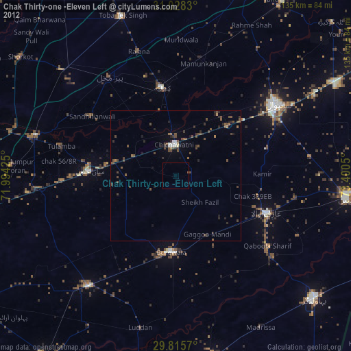
Chak Thirty-one -Eleven Left night lights from space
Night Light of Chak Thirty-one -Eleven Left (Punjab) from space (Pakistan) Src. Average luminocity for 10x10km area is 0.2088% and for 50x50km: 2.5444%.
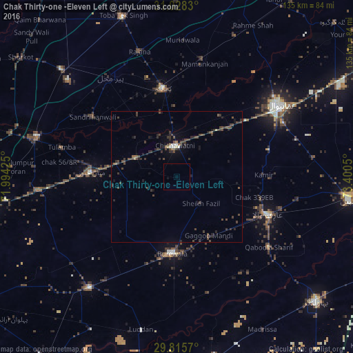
Analysis of Chak Thirty-one -Eleven Left night lights 2016
Square area 10x10 km:
 0%
0%90-99
0%80-89
0%70-79
0%60-69
0%50-59
0%40-49
0%30-39
0%20-29
0%10-19
0.73%0-9
99.27%Square area 50x50 km:
0.04%90-99
0.17%80-89
0.11%70-79
0.01%60-69
0.15%50-59
0.45%40-49
1.42%30-39
1.05%20-29
1.02%10-19
1.16%0-9
94.43%Clear (daylight) street map image can be seen on geolist.org.
Map coordinates:
31° 1' 41.9" North, 71° 59' 39.3" East
30° 25' 26" North, 72° 41' 50.5" East
29° 48' 56.5" North, 73° 24' 1.8" East
Some cities around Chak Thirty-one -Eleven Left sort by population:
• Būrewāla
29 km =18 mi,  189°
189°
• Kamalia
34.1 km =21.2 mi,  351°
351°
• Arifwala
38.3 km =23.8 mi,  112°
112°
• Chichawatni
11.8 km =7.3 mi,  357°
357°
• Mian Channun
32.7 km =20.3 mi,  273°
273°
• Pir Mahal
45.7 km =28.4 mi,  326°
326°
• Mamu Kanjan
46.2 km =28.7 mi,  12°
12°
• Talamba
45.2 km =28.1 mi,  284°
284°
1177064 (p: 45,665)
Sources (retrieved 2019-11-25):
» Earth at Night: Flat Maps 2012, 2016