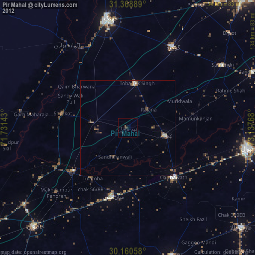
Pir Mahal night lights from space
Night Light of Pir Mahal (Punjab) from space (Pakistan) Src. Average luminocity for 10x10km area is 0.5997% and for 50x50km: 2.1883%.
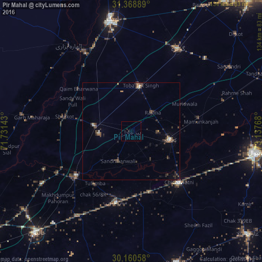
Analysis of Pir Mahal night lights 2016
Square area 10x10 km:
 0%
0%90-99
0%80-89
0%70-79
0%60-69
0%50-59
0%40-49
0%30-39
0.35%20-29
1.05%10-19
1.05%0-9
97.55%Square area 50x50 km:
0.02%90-99
0.26%80-89
0.12%70-79
0.15%60-69
0.18%50-59
0.32%40-49
0.93%30-39
0.7%20-29
0.89%10-19
0.69%0-9
95.73%Clear (daylight) street map image can be seen on geolist.org.
Map coordinates:
31° 22' 8" North, 71° 43' 53.1" East
30° 45' 59.9" North, 72° 26' 4.4" East
30° 9' 38.1" North, 73° 8' 15.6" East
Some cities around Pir Mahal sort by population:
• Kamalia
20.7 km =12.9 mi,  102°
102°
• Chichawatni
36 km =22.4 mi,  136°
136°
• Mian Channun
37 km =23 mi,  191°
191°
• Toba Tek Singh
23.2 km =14.4 mi,  11°
11°
• Chak Thirty-one -Eleven Left
45.7 km =28.4 mi,  146°
146°
• Mamu Kanjan
35.6 km =22.1 mi,  78°
78°
• Talamba
32.5 km =20.2 mi,  214°
214°
• Sarai Sidhu
48.4 km =30.1 mi,  246°
246°
1167873 (p: 35,343)
Sources (retrieved 2019-11-25):
» Earth at Night: Flat Maps 2012, 2016