Būrewāla night lights from space
Night Light of Būrewāla (Punjab) from space (Pakistan) Src. Average luminocity for 10x10km area is 18.5734% and for 50x50km: 1.8192%.
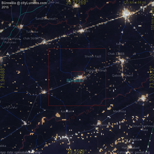
Analysis of Būrewāla night lights 2016
Square area 10x10 km:
 0.17%
0.17%90-99
5.07%80-89
0.87%70-79
0.17%60-69
2.8%50-59
4.37%40-49
4.2%30-39
4.9%20-29
4.72%10-19
10.84%0-9
61.89%Square area 50x50 km:
0.01%90-99
0.21%80-89
0.04%70-79
0.01%60-69
0.15%50-59
0.24%40-49
0.9%30-39
0.79%20-29
0.76%10-19
1.09%0-9
95.8%Clear (daylight) street map image can be seen on geolist.org.
Map coordinates:
30° 46' 21.7" North, 71° 56' 48.8" East
30° 10' 0" North, 72° 39' 0" East
29° 33' 24.8" North, 73° 21' 11.3" East
Some cities around Būrewāla sort by population:
• Chishtian
45.7 km =28.4 mi,  154°
154°
• Vihari
31.4 km =19.5 mi,  244°
244°
• Hasilpur
53.7 km =33.4 mi,  190°
190°
• Arifwala
42.2 km =26.2 mi,  70°
70°
• Chichawatni
40.6 km =25.2 mi,  5°
5°
• Mian Channun
41.5 km =25.8 mi,  317°
317°
• Chak Thirty-one -Eleven Left
29 km =18 mi, 9°
• Chak One Hundred Twenty Nine Left
47.9 km =29.8 mi,  52°
52°
1182092 (p: 183,915)
Sources (retrieved 2019-11-25):
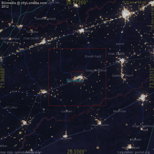
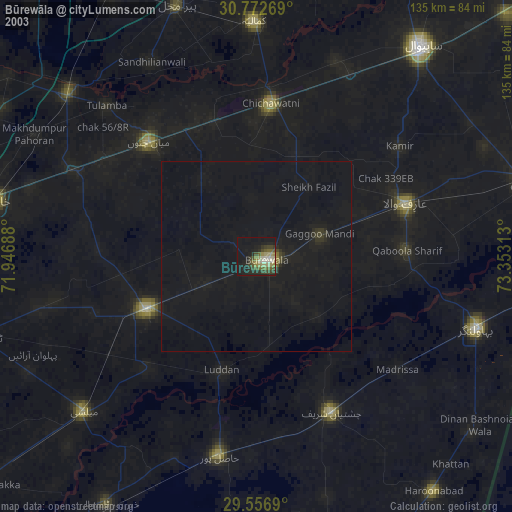
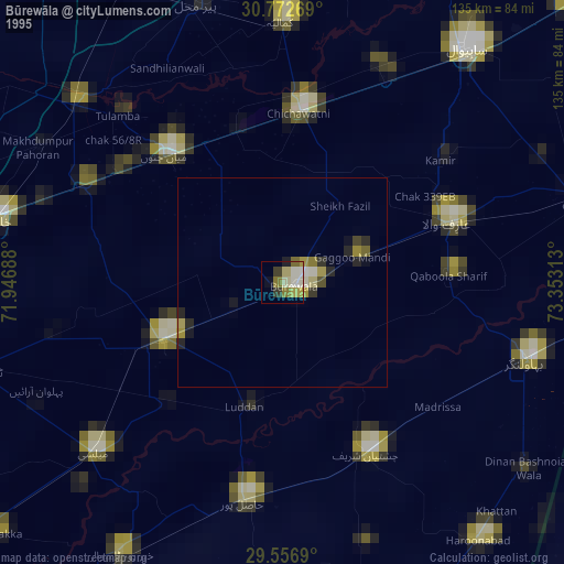
» NASA, Earths city lights 1995
» NASA city lights 2003
» Earth at Night: Flat Maps 2012, 2016