Talamba night lights from space
Night Light of Talamba (Punjab) from space (Pakistan) Src. Average luminocity for 10x10km area is 1.8553% and for 50x50km: 3.3038%.
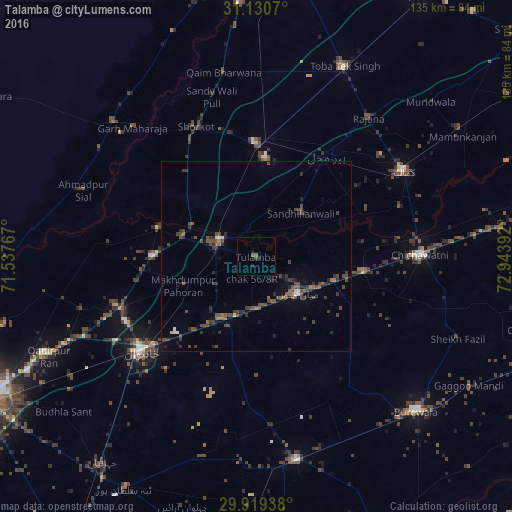
Analysis of Talamba night lights 2016
Square area 10x10 km:
 0%
0%90-99
0%80-89
0%70-79
0%60-69
0%50-59
1.47%40-49
0%30-39
0.73%20-29
1.28%10-19
0.92%0-9
95.6%Square area 50x50 km:
0.11%90-99
0.15%80-89
0.09%70-79
0.02%60-69
0.32%50-59
0.71%40-49
1.8%30-39
1.19%20-29
1.09%10-19
1%0-9
93.51%Clear (daylight) street map image can be seen on geolist.org.
Map coordinates:
31° 7' 50.5" North, 71° 32' 15.6" East
30° 31' 36.9" North, 72° 14' 26.8" East
29° 55' 9.8" North, 72° 56' 38.1" East
Some cities around Talamba sort by population:
• Kamalia
44.7 km =27.8 mi,  60°
60°
• Chichawatni
43.2 km =26.8 mi,  89°
89°
• Mian Channun
14.7 km =9.1 mi,  130°
130°
• Kabirwala
38.7 km =24 mi,  249°
249°
• Chak Thirty-one -Eleven Left
45.2 km =28.1 mi,  104°
104°
• Pir Mahal
32.5 km =20.2 mi,  34°
34°
• Garh Maharaja
46.9 km =29.1 mi,  316°
316°
• Sarai Sidhu
27 km =16.8 mi,  286°
286°
1164064 (p: 28,151)
Sources (retrieved 2019-11-25):
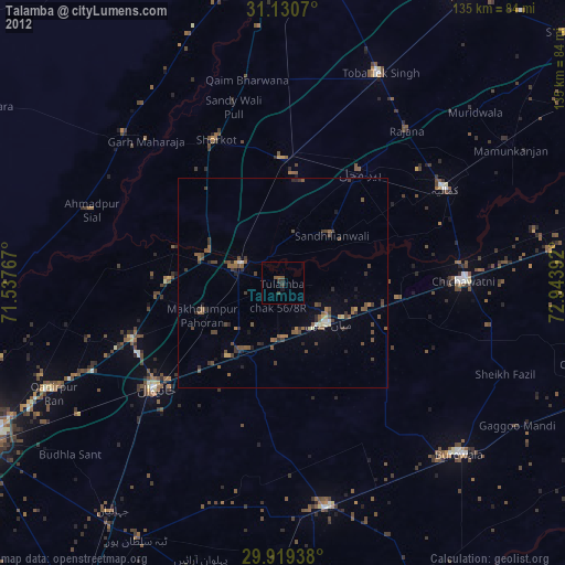
» Earth at Night: Flat Maps 2012, 2016