Kamalia night lights from space
Night Light of Kamalia (Punjab) from space (Pakistan) Src. Average luminocity for 10x10km area is 12.5874% and for 50x50km: 2.5024%.
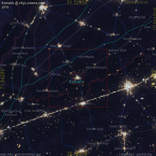
Analysis of Kamalia night lights 2016
Square area 10x10 km:
 0.52%
0.52%90-99
2.27%80-89
0.7%70-79
1.4%60-69
0.7%50-59
1.57%40-49
5.24%30-39
2.27%20-29
3.67%10-19
1.22%0-9
80.42%Square area 50x50 km:
0.06%90-99
0.26%80-89
0.11%70-79
0.1%60-69
0.1%50-59
0.4%40-49
1.12%30-39
0.93%20-29
1.04%10-19
1.18%0-9
94.69%Clear (daylight) street map image can be seen on geolist.org.
Map coordinates:
31° 19' 46.5" North, 71° 56' 34.6" East
30° 43' 37.5" North, 72° 38' 45.9" East
30° 7' 14.8" North, 73° 20' 57.1" East
Some cities around Kamalia sort by population:
• Sahiwal
44.1 km =27.4 mi,  98°
98°
• Chichawatni
22.3 km =13.9 mi,  168°
168°
• Mian Channun
42.2 km =26.2 mi,  221°
221°
• Toba Tek Singh
31.3 km =19.4 mi,  330°
330°
• Chak Thirty-one -Eleven Left
34.1 km =21.2 mi, 171°
• Chak Azam Sahu
36.6 km =22.7 mi,  85°
85°
• Pir Mahal
20.7 km =12.9 mi,  282°
282°
• Mamu Kanjan
18.6 km =11.6 mi,  51°
51°
1175156 (p: 112,426)
Sources (retrieved 2019-11-25):
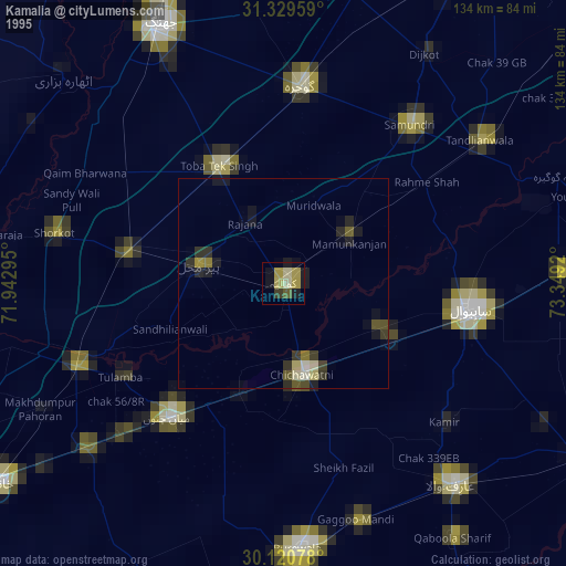
» NASA, Earths city lights 1995
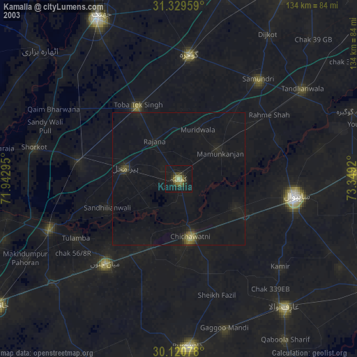
» NASA city lights 2003
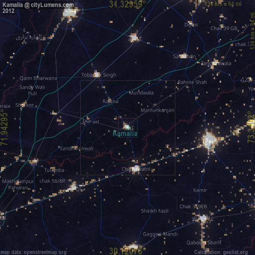
» Earth at Night: Flat Maps 2012, 2016