Arifwala night lights from space
Night Light of Arifwala (Punjab) from space (Pakistan) Src. Average luminocity for 10x10km area is 25.3553% and for 50x50km: 2.7269%.
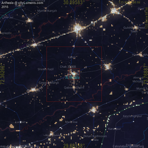
Analysis of Arifwala night lights 2016
Square area 10x10 km:
 0.92%
0.92%90-99
2.56%80-89
2.38%70-79
1.65%60-69
4.95%50-59
5.31%40-49
9.71%30-39
3.3%20-29
6.59%10-19
26.01%0-9
36.63%Square area 50x50 km:
0.04%90-99
0.1%80-89
0.14%70-79
0.17%60-69
0.24%50-59
0.49%40-49
1.21%30-39
1.14%20-29
1.02%10-19
1.91%0-9
93.55%Clear (daylight) street map image can be seen on geolist.org.
Map coordinates:
30° 53' 45" North, 72° 21' 45.4" East
30° 17' 26.1" North, 73° 3' 56.7" East
29° 40' 53.7" North, 73° 46' 7.9" East
Some cities around Arifwala sort by population:
• Sahiwal
41.9 km =26 mi,  4°
4°
• Būrewāla
42.2 km =26.2 mi,  250°
250°
• Pakpattan
31.6 km =19.6 mi,  79°
79°
• Bahawalnagar
37.1 km =23.1 mi,  151°
151°
• Chichawatni
44.7 km =27.8 mi,  306°
306°
• Chak Thirty-one -Eleven Left
38.3 km =23.8 mi,  292°
292°
• Minchianabad
50.3 km =31.3 mi,  106°
106°
• Chak One Hundred Twenty Nine Left
15.5 km =9.6 mi,  352°
352°
1184370 (p: 87,360)
Sources (retrieved 2019-11-25):
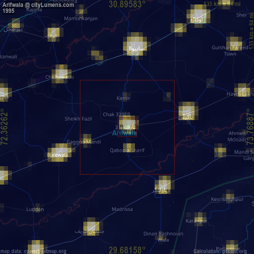
» NASA, Earths city lights 1995
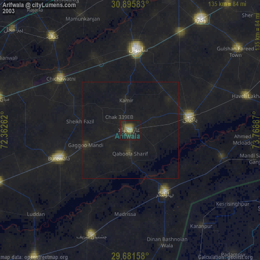
» NASA city lights 2003
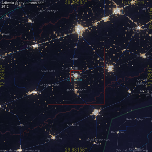
» Earth at Night: Flat Maps 2012, 2016