Dadu night lights from space
Night Light of Dadu (Sindh) from space (Pakistan) Src. Average luminocity for 10x10km area is 14.7381% and for 50x50km: 1.9171%.
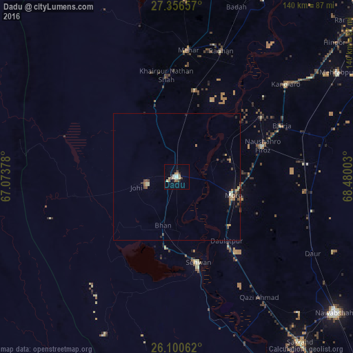
Analysis of Dadu night lights 2016
Square area 10x10 km:
 0.79%
0.79%90-99
3.17%80-89
2.98%70-79
1.39%60-69
2.38%50-59
1.19%40-49
1.98%30-39
1.98%20-29
0.99%10-19
1.79%0-9
81.35%Square area 50x50 km:
0.03%90-99
0.2%80-89
0.37%70-79
0.24%60-69
0.34%50-59
0.36%40-49
0.4%30-39
0.21%20-29
0.25%10-19
0.57%0-9
97.03%Clear (daylight) street map image can be seen on geolist.org.
Map coordinates:
27° 21' 23.7" North, 67° 4' 25.6" East
26° 43' 49.2" North, 67° 46' 36.8" East
26° 6' 2.2" North, 68° 28' 48.1" East
Some cities around Dadu sort by population:
• Moro
23.4 km =14.5 mi,  108°
108°
• Sehwan
35 km =21.7 mi,  166°
166°
• Sīta Road
34.5 km =21.4 mi,  12°
12°
• Naushahro Firoz
36.4 km =22.6 mi,  70°
70°
• Bhan
19.9 km =12.4 mi,  196°
196°
• Johi
16.7 km =10.4 mi,  255°
255°
• Daulatpur
31.9 km =19.8 mi,  142°
142°
• Goth Phulji
19.2 km =11.9 mi,  330°
330°
1180809 (p: 139,784)
Sources (retrieved 2019-11-25):
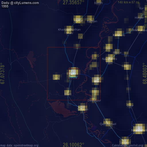
» NASA, Earths city lights 1995
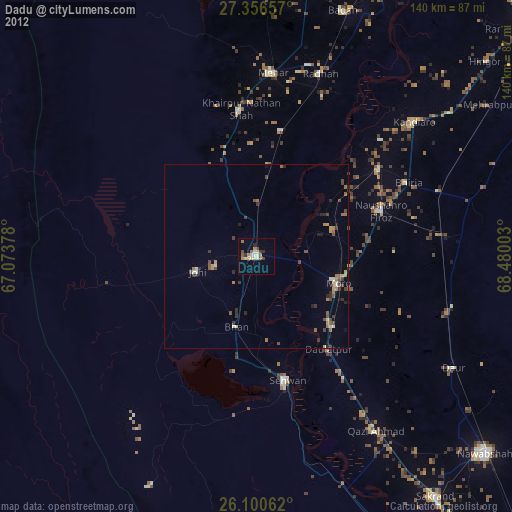
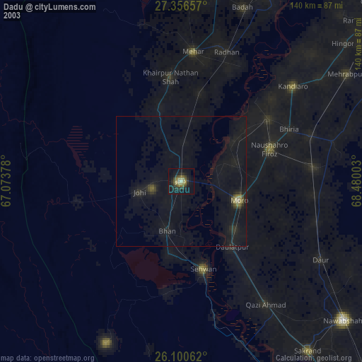
» NASA city lights 2003
» Earth at Night: Flat Maps 2012, 2016