Goth Phulji night lights from space
Night Light of Goth Phulji (Sindh) from space (Pakistan) Src. Average luminocity for 10x10km area is 0% and for 50x50km: 1.4569%.
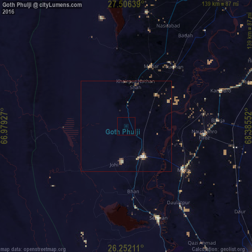
Analysis of Goth Phulji night lights 2016
Square area 10x10 km:
 0%
0%90-99
0%80-89
0%70-79
0%60-69
0%50-59
0%40-49
0%30-39
0%20-29
0%10-19
0%0-9
100%Square area 50x50 km:
0.03%90-99
0.14%80-89
0.28%70-79
0.18%60-69
0.22%50-59
0.21%40-49
0.38%30-39
0.34%20-29
0.19%10-19
0.11%0-9
97.9%Clear (daylight) street map image can be seen on geolist.org.
Map coordinates:
27° 30' 23" North, 66° 58' 45.4" East
26° 52' 51.6" North, 67° 40' 56.6" East
26° 15' 7.6" North, 68° 23' 7.9" East
Some cities around Goth Phulji sort by population:
• Dadu
19.2 km =11.9 mi,  150°
150°
• Moro
39.8 km =24.7 mi,  127°
127°
• Mehar
36 km =22.4 mi,  22°
22°
• Khairpur Nathan Shah
23.9 km =14.9 mi,  12°
12°
• Sīta Road
23.7 km =14.7 mi,  44°
44°
• Tharu Shah
43.7 km =27.2 mi,  81°
81°
• Bhan
36.1 km =22.4 mi,  173°
173°
• Johi
22 km =13.7 mi,  197°
197°
1168101 (p: 7,877)
Sources (retrieved 2019-11-25):
» Earth at Night: Flat Maps 2012, 2016