Attock City night lights from space
Night Light of Attock City (Punjab) from space (Pakistan) Src. Average luminocity for 10x10km area is 25.3993% and for 50x50km: 5.8391%.
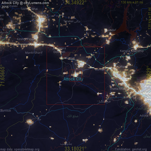
Analysis of Attock City night lights 2016
Square area 10x10 km:
 0.92%
0.92%90-99
7.69%80-89
2.01%70-79
3.85%60-69
2.93%50-59
3.66%40-49
3.3%30-39
0.55%20-29
6.23%10-19
26.19%0-9
42.67%Square area 50x50 km:
0.3%90-99
1.02%80-89
0.53%70-79
0.59%60-69
0.66%50-59
0.98%40-49
1.17%30-39
0.8%20-29
1.55%10-19
4.74%0-9
87.65%Clear (daylight) street map image can be seen on geolist.org.
Map coordinates:
34° 20' 57.2" North, 71° 39' 23.9" East
33° 46' 0.2" North, 72° 21' 35.2" East
33° 10' 48.8" North, 73° 3' 46.4" East
Some cities around Attock City sort by population:
• Swabi
40.6 km =25.2 mi,  14°
14°
• Nowshera Cantonment
42.1 km =26.2 mi,  307°
307°
• Risalpur Cantonment
47.1 km =29.3 mi, 313°
• Topi
41.5 km =25.8 mi,  35°
35°
• Zaida
34 km =21.1 mi,  16°
16°
• Hazro City
20.1 km =12.5 mi, 37°
• Akora
34.1 km =21.2 mi,  320°
320°
• Sanjwal
6.8 km =4.2 mi,  95°
95°
1184249 (p: 85,479)
Sources (retrieved 2019-11-25):
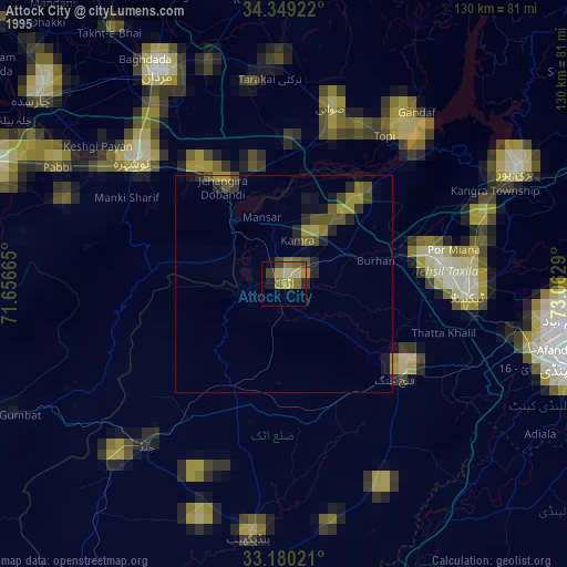
» NASA, Earths city lights 1995
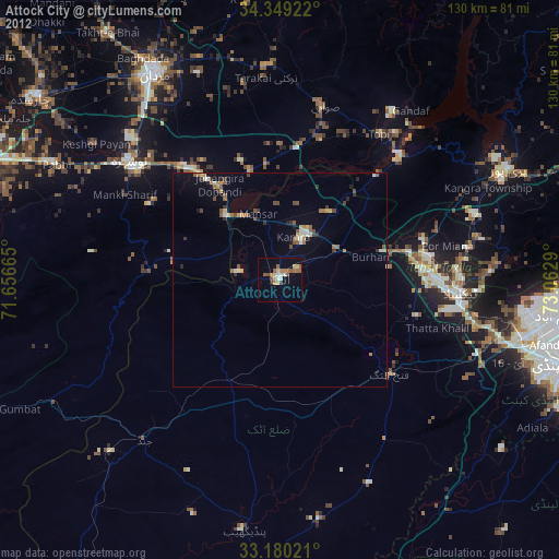
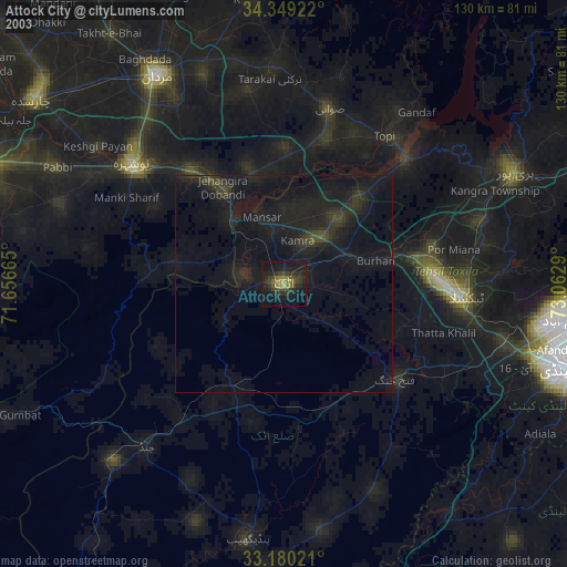
» NASA city lights 2003
» Earth at Night: Flat Maps 2012, 2016