Risalpur Cantonment night lights from space
Night Light of Risalpur Cantonment (Khyber Pakhtunkhwa) from space (Pakistan) Src. Average luminocity for 10x10km area is 42.2955% and for 50x50km: 13.7663%.
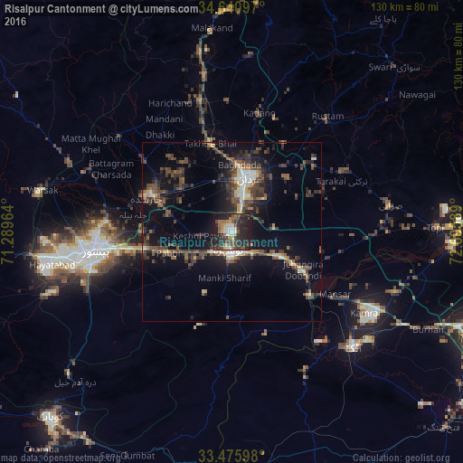
Analysis of Risalpur Cantonment night lights 2016
Square area 10x10 km:
 3.67%
3.67%90-99
8.04%80-89
2.62%70-79
3.5%60-69
7.52%50-59
6.12%40-49
10.84%30-39
9.97%20-29
29.37%10-19
17.66%0-9
0.7%Square area 50x50 km:
0.45%90-99
2.14%80-89
1.12%70-79
0.95%60-69
1.38%50-59
2.81%40-49
4.06%30-39
3.59%20-29
4.95%10-19
10.26%0-9
68.3%Clear (daylight) street map image can be seen on geolist.org.
Map coordinates:
34° 38' 27.5" North, 71° 17' 22.7" East
34° 3' 37.7" North, 71° 59' 33.9" East
33° 28' 33.5" North, 72° 41' 45.2" East
Some cities around Risalpur Cantonment sort by population:
• Peshawar
38.6 km =24 mi,  261°
261°
• Mardan
16.2 km =10.1 mi,  18°
18°
• Nowshera Cantonment
6.9 km =4.3 mi,  175°
175°
• Charsadda
25.2 km =15.7 mi,  292°
292°
• Pabbi
19.1 km =11.9 mi,  252°
252°
• Utmanzai
25.5 km =15.8 mi,  303°
303°
• Aman Garh
8.4 km =5.2 mi,  223°
223°
• Akora
13.8 km =8.6 mi,  117°
117°
1448637 (p: 37,084)
Sources (retrieved 2019-11-25):
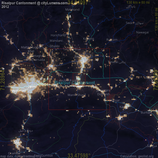
» Earth at Night: Flat Maps 2012, 2016