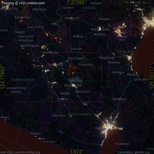
Tamnag night lights from space
Night Light of Tamnag (Soccsksargen) from space (Philippines) Src. Average luminocity for 10x10km area is 0.7835% and for 50x50km: 1.1666%.
Analysis of Tamnag night lights 2016
Square area 10x10 km:
 0%
0%90-99
0%80-89
0%70-79
0.87%60-69
0%50-59
0%40-49
0%30-39
0%20-29
0%10-19
0%0-9
99.13%Square area 50x50 km:
0.01%90-99
0.15%80-89
0.12%70-79
0.16%60-69
0.13%50-59
0.16%40-49
0.36%30-39
0.45%20-29
0.41%10-19
0.21%0-9
97.85%Clear (daylight) street map image can be seen on geolist.org.
Map coordinates:
7° 16' 15.5" North, 124° 10' 36.9" East
6° 34' 22.7" North, 124° 52' 48.1" East
5° 52' 26.4" North, 125° 34' 59.4" East
Some cities around Tamnag sort by population:
• Koronadal
8.6 km =5.3 mi,  205°
205°
• Buluan
18.5 km =11.5 mi,  332°
332°
• Lutayan
5.1 km =3.2 mi,  1°
1°
• Lambayong
19.1 km =11.9 mi,  108°
108°
• Tantangan
15.2 km =9.4 mi,  287°
287°
• Columbio
15.1 km =9.4 mi,  24°
24°
• Carpenter Hill
14.3 km =8.9 mi,  179°
179°
• Kipalbig
18.8 km =11.7 mi,  164°
164°
1683456 (p: 6,302)
Sources (retrieved 2019-11-25):
» Earth at Night: Flat Maps 2012, 2016