Tantangan night lights from space
Night Light of Tantangan (Soccsksargen) from space (Philippines) Src. Average luminocity for 10x10km area is 1.9134% and for 50x50km: 1.7728%.
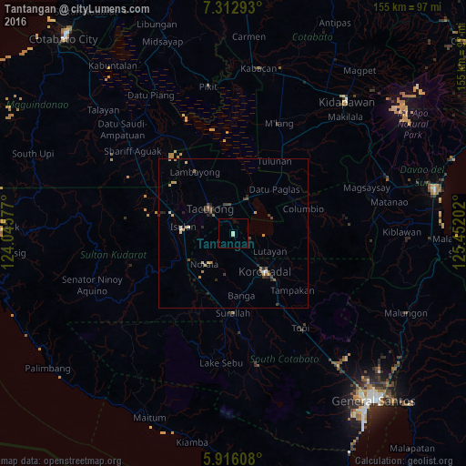
Analysis of Tantangan night lights 2016
Square area 10x10 km:
 0%
0%90-99
1.73%80-89
0%70-79
0%60-69
0%50-59
0%40-49
0%30-39
0%20-29
0%10-19
0%0-9
98.27%Square area 50x50 km:
0.01%90-99
0.27%80-89
0.28%70-79
0.38%60-69
0.15%50-59
0.2%40-49
0.35%30-39
0.42%20-29
0.52%10-19
0.18%0-9
97.26%Clear (daylight) street map image can be seen on geolist.org.
Map coordinates:
7° 18' 46.5" North, 124° 2' 44.8" East
6° 36' 54" North, 124° 44' 56" East
5° 54' 57.9" North, 125° 27' 7.3" East
Some cities around Tantangan sort by population:
• Tacurong
11.8 km =7.3 mi,  317°
317°
• Isulan
16 km =9.9 mi,  275°
275°
• Buluan
13.1 km =8.1 mi,  26°
26°
• Lutayan
14.7 km =9.1 mi,  88°
88°
• Norala
14.3 km =8.9 mi,  223°
223°
• Digal
16.2 km =10.1 mi,  18°
18°
• Tamnag
15.2 km =9.4 mi,  107°
107°
• Gansing
15.6 km =9.7 mi, 317°
1683037 (p: 10,337)
Sources (retrieved 2019-11-25):
» Earth at Night: Flat Maps 2012, 2016