Lambayong night lights from space
Night Light of Lambayong (Soccsksargen) from space (Philippines) Src. Average luminocity for 10x10km area is 0% and for 50x50km: 0.5307%.
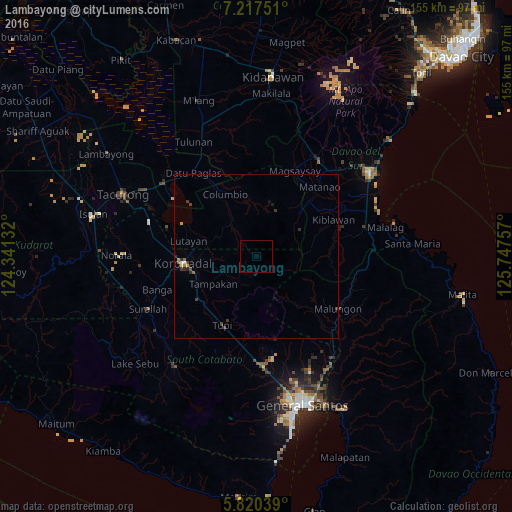
Analysis of Lambayong night lights 2016
Square area 10x10 km:
 0%
0%90-99
0%80-89
0%70-79
0%60-69
0%50-59
0%40-49
0%30-39
0%20-29
0%10-19
0%0-9
100%Square area 50x50 km:
0.01%90-99
0.06%80-89
0.03%70-79
0.04%60-69
0.1%50-59
0.1%40-49
0.14%30-39
0.28%20-29
0.19%10-19
0.03%0-9
99.02%Clear (daylight) street map image can be seen on geolist.org.
Map coordinates:
7° 13' 3" North, 124° 20' 28.8" East
6° 31' 10" North, 125° 2' 40" East
5° 49' 13.4" North, 125° 44' 51.3" East
Some cities around Lambayong sort by population:
• Koronadal
21.9 km =13.6 mi,  265°
265°
• Tupi
22.9 km =14.2 mi,  206°
206°
• Lutayan
21.1 km =13.1 mi,  301°
301°
• Tampakan
5.3 km =3.3 mi,  127°
127°
• Tamnag
19.1 km =11.9 mi,  288°
288°
• Cebuano
16.9 km =10.5 mi, 209°
• Carpenter Hill
19.9 km =12.4 mi,  245°
245°
• Kipalbig
17.8 km =11.1 mi,  227°
227°
1707812 (p: 11,009)
Sources (retrieved 2019-11-25):
» Earth at Night: Flat Maps 2012, 2016