Columbio night lights from space
Night Light of Columbio (Soccsksargen) from space (Philippines) Src. Average luminocity for 10x10km area is 0.0022% and for 50x50km: 0.7176%.
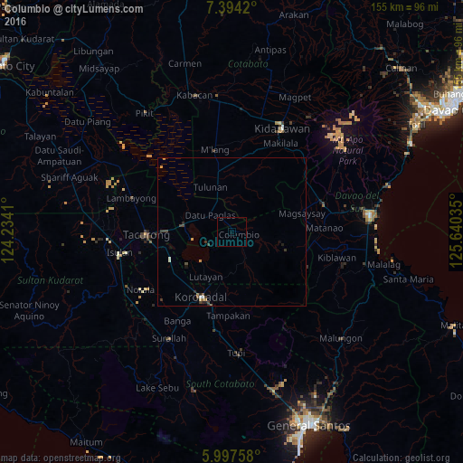
Analysis of Columbio night lights 2016
Square area 10x10 km:
 0%
0%90-99
0%80-89
0%70-79
0%60-69
0%50-59
0%40-49
0%30-39
0%20-29
0%10-19
0%0-9
100%Square area 50x50 km:
0.01%90-99
0.13%80-89
0.03%70-79
0.11%60-69
0.14%50-59
0.08%40-49
0.19%30-39
0.27%20-29
0.2%10-19
0.06%0-9
98.78%Clear (daylight) street map image can be seen on geolist.org.
Map coordinates:
7° 23' 39.1" North, 124° 14' 2.8" East
6° 41' 47" North, 124° 56' 14" East
5° 59' 51.3" North, 125° 38' 25.3" East
Some cities around Columbio sort by population:
• Buluan
15.2 km =9.4 mi,  280°
280°
• Lutayan
10.6 km =6.6 mi,  215°
215°
• Lambayong
23 km =14.3 mi,  148°
148°
• Tantangan
22.7 km =14.1 mi,  246°
246°
• Tulunan
16.7 km =10.4 mi,  336°
336°
• Digal
16.8 km =10.4 mi,  292°
292°
• Bagontapay
18.3 km =11.4 mi,  350°
350°
• Tamnag
15.1 km =9.4 mi,  204°
204°
1717103 (p: 5,516)
Sources (retrieved 2019-11-25):
» Earth at Night: Flat Maps 2012, 2016