Buluan night lights from space
Night Light of Buluan (Autonomous Region in Muslim Mindanao) from space (Philippines) Src. Average luminocity for 10x10km area is 1.4156% and for 50x50km: 1.408%.
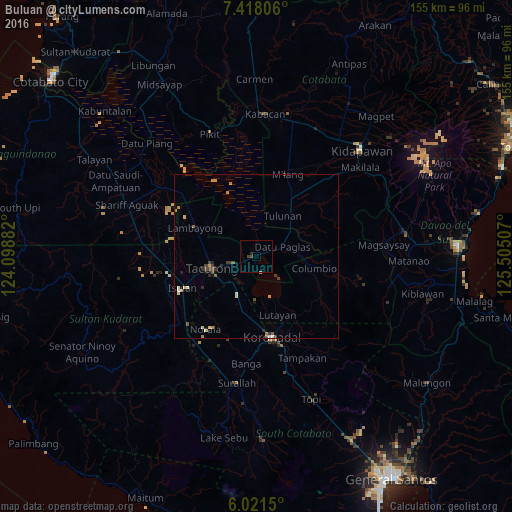
Analysis of Buluan night lights 2016
Square area 10x10 km:
 0%
0%90-99
0%80-89
0%70-79
0.43%60-69
0%50-59
0%40-49
1.3%30-39
0.43%20-29
0.87%10-19
0%0-9
96.97%Square area 50x50 km:
0.01%90-99
0.26%80-89
0.18%70-79
0.31%60-69
0.15%50-59
0.16%40-49
0.27%30-39
0.35%20-29
0.29%10-19
0.14%0-9
97.88%Clear (daylight) street map image can be seen on geolist.org.
Map coordinates:
7° 25' 5" North, 124° 5' 55.8" East
6° 43' 13" North, 124° 48' 7" East
6° 1' 17.4" North, 125° 30' 18.3" East
Some cities around Buluan sort by population:
• Tacurong
14.2 km =8.8 mi,  257°
257°
• Lutayan
14.3 km =8.9 mi,  142°
142°
• Tantangan
13.1 km =8.1 mi,  206°
206°
• Tulunan
15.2 km =9.4 mi,  33°
33°
• Digal
3.7 km =2.3 mi,  350°
350°
• Badak
16.7 km =10.4 mi,  327°
327°
• Columbio
15.2 km =9.4 mi,  100°
100°
• Gansing
16.4 km =10.2 mi,  269°
269°
1722818 (p: 28,025)
Sources (retrieved 2019-11-25):
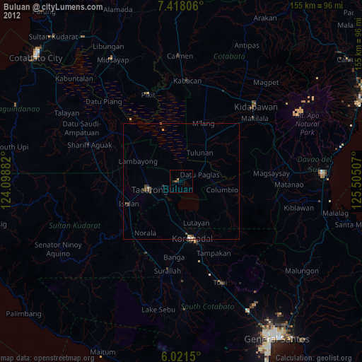
» Earth at Night: Flat Maps 2012, 2016