Koronadal night lights from space
Night Light of Koronadal (Soccsksargen) from space (Philippines) Src. Average luminocity for 10x10km area is 8.9437% and for 50x50km: 1.2595%.
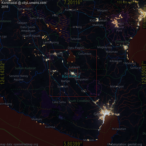
Analysis of Koronadal night lights 2016
Square area 10x10 km:
 0.22%
0.22%90-99
1.52%80-89
0.87%70-79
0.22%60-69
2.6%50-59
2.38%40-49
1.3%30-39
1.52%20-29
4.11%10-19
0%0-9
85.28%Square area 50x50 km:
0.01%90-99
0.15%80-89
0.12%70-79
0.19%60-69
0.13%50-59
0.16%40-49
0.41%30-39
0.51%20-29
0.41%10-19
0.18%0-9
97.73%Clear (daylight) street map image can be seen on geolist.org.
Map coordinates:
7° 12' 4.2" North, 124° 8' 37.8" East
6° 30' 11" North, 124° 50' 49" East
5° 48' 14.4" North, 125° 33' 0.3" East
Some cities around Koronadal sort by population:
• Bañga
11.6 km =7.2 mi,  220°
220°
• Lutayan
13.4 km =8.3 mi,  16°
16°
• Tantangan
16.5 km =10.3 mi,  318°
318°
• Lamba
17.3 km =10.7 mi,  190°
190°
• Tamnag
8.6 km =5.3 mi,  25°
25°
• Lopez Jaena
16.7 km =10.4 mi,  259°
259°
• Carpenter Hill
7.6 km =4.7 mi,  149°
149°
• Kipalbig
13.5 km =8.4 mi,  139°
139°
1708522 (p: 125,502)
Sources (retrieved 2019-11-25):
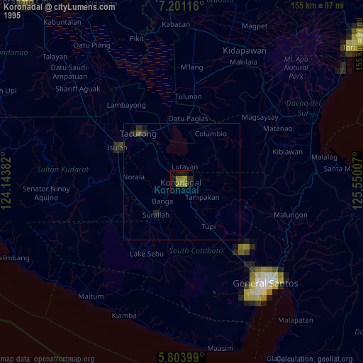
» NASA, Earths city lights 1995
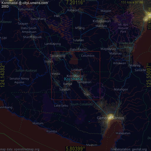
» NASA city lights 2003
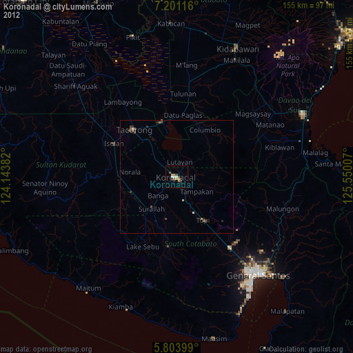
» Earth at Night: Flat Maps 2012, 2016