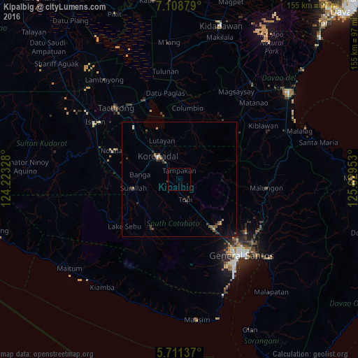
Kipalbig night lights from space
Night Light of Kipalbig (Soccsksargen) from space (Philippines) Src. Average luminocity for 10x10km area is 0.2035% and for 50x50km: 1.1327%.
Analysis of Kipalbig night lights 2016
Square area 10x10 km:
 0%
0%90-99
0%80-89
0%70-79
0%60-69
0%50-59
0%40-49
0.43%30-39
0%20-29
0%10-19
0%0-9
99.57%Square area 50x50 km:
0.01%90-99
0.13%80-89
0.08%70-79
0.1%60-69
0.17%50-59
0.33%40-49
0.35%30-39
0.31%20-29
0.26%10-19
0.2%0-9
98.06%Clear (daylight) street map image can be seen on geolist.org.
Map coordinates:
7° 6' 31.6" North, 124° 13' 23.8" East
6° 24' 38" North, 124° 55' 35" East
5° 42' 40.9" North, 125° 37' 46.3" East
Some cities around Kipalbig sort by population:
• Koronadal
13.5 km =8.4 mi,  319°
319°
• Bañga
16.4 km =10.2 mi,  275°
275°
• Tupi
9 km =5.6 mi,  160°
160°
• Lambayong
17.8 km =11.1 mi,  47°
47°
• Polonoling
14.7 km =9.1 mi, 161°
• Lamba
13.6 km =8.5 mi,  240°
240°
• Cebuano
5.3 km =3.3 mi,  118°
118°
• Carpenter Hill
6.2 km =3.9 mi,  306°
306°
1708644 (p: 5,070)
Sources (retrieved 2019-11-25):
» Earth at Night: Flat Maps 2012, 2016