Tacurong night lights from space
Night Light of Tacurong (Soccsksargen) from space (Philippines) Src. Average luminocity for 10x10km area is 6.0714% and for 50x50km: 2.1051%.
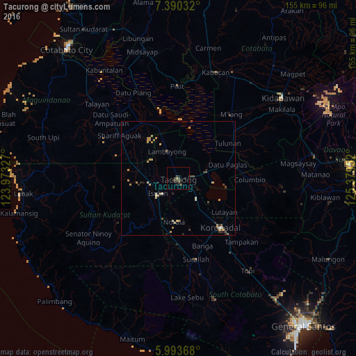
Analysis of Tacurong night lights 2016
Square area 10x10 km:
 0%
0%90-99
0%80-89
0%70-79
0.87%60-69
0%50-59
0.87%40-49
3.03%30-39
4.55%20-29
3.03%10-19
2.6%0-9
85.06%Square area 50x50 km:
0.01%90-99
0.27%80-89
0.29%70-79
0.69%60-69
0.26%50-59
0.2%40-49
0.31%30-39
0.43%20-29
0.52%10-19
0.15%0-9
96.88%Clear (daylight) street map image can be seen on geolist.org.
Map coordinates:
7° 23' 25.2" North, 123° 58' 23.8" East
6° 41' 33" North, 124° 40' 35" East
5° 59' 37.2" North, 125° 22' 46.3" East
Some cities around Tacurong sort by population:
• Isulan
10.6 km =6.6 mi,  228°
228°
• Buluan
14.2 km =8.8 mi,  77°
77°
• Laguilayan
16.9 km =10.5 mi,  262°
262°
• Tantangan
11.8 km =7.3 mi,  137°
137°
• Digal
14.9 km =9.3 mi,  63°
63°
• Badak
17.9 km =11.1 mi,  15°
15°
• Esperanza
17.6 km =10.9 mi,  281°
281°
• Gansing
3.8 km =2.4 mi,  318°
318°
1684681 (p: 54,648)
Sources (retrieved 2019-11-25):
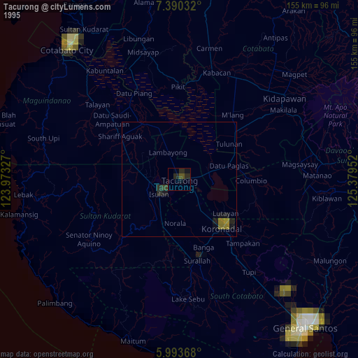
» NASA, Earths city lights 1995
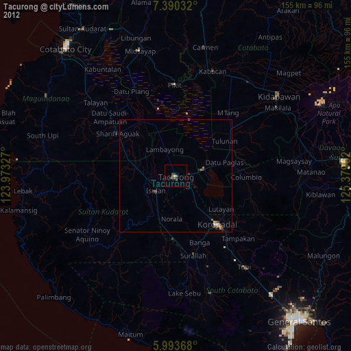
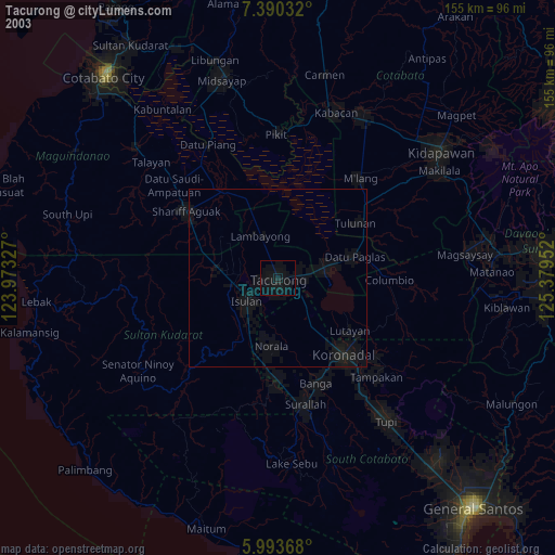
» NASA city lights 2003
» Earth at Night: Flat Maps 2012, 2016