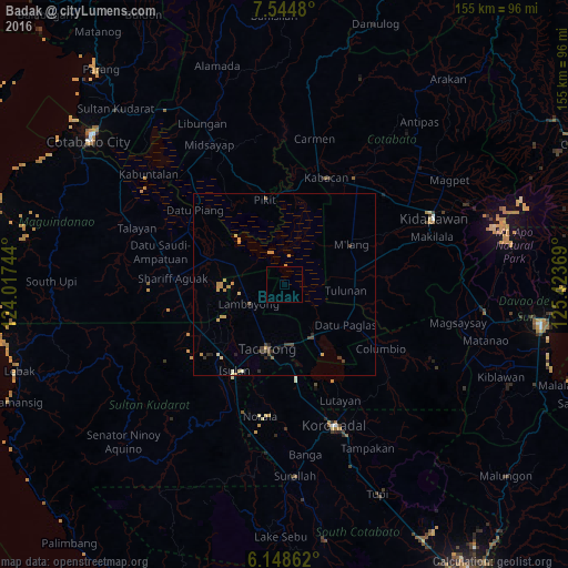
Badak night lights from space
Night Light of Badak (Autonomous Region in Muslim Mindanao) from space (Philippines) Src. Average luminocity for 10x10km area is 0.355% and for 50x50km: 1.3962%.
Analysis of Badak night lights 2016
Square area 10x10 km:
 0%
0%90-99
0%80-89
0%70-79
0.43%60-69
0%50-59
0%40-49
0%30-39
0%20-29
0%10-19
0%0-9
99.57%Square area 50x50 km:
0%90-99
0.1%80-89
0.14%70-79
0.67%60-69
0.1%50-59
0.1%40-49
0.22%30-39
0.37%20-29
0.29%10-19
0.11%0-9
97.9%Clear (daylight) street map image can be seen on geolist.org.
Map coordinates:
7° 32' 41.3" North, 124° 1' 2.8" East
6° 50' 50" North, 124° 43' 14" East
6° 8' 55" North, 125° 25' 25.3" East
Some cities around Badak sort by population:
• Tacurong
17.9 km =11.1 mi,  195°
195°
• Buluan
16.7 km =10.4 mi,  147°
147°
• Tulunan
17.3 km =10.7 mi,  94°
94°
• Digal
13.4 km =8.3 mi,  141°
141°
• Bagontapay
20.8 km =12.9 mi, 86°
• Pagalungan
23.4 km =14.5 mi,  354°
354°
• Sampao
14.2 km =8.8 mi,  283°
283°
• Gansing
16.1 km =10 mi,  207°
207°
1966226 (p: 6,653)
Sources (retrieved 2019-11-25):
» Earth at Night: Flat Maps 2012, 2016