Isulan night lights from space
Night Light of Isulan (Soccsksargen) from space (Philippines) Src. Average luminocity for 10x10km area is 6.8658% and for 50x50km: 1.7267%.
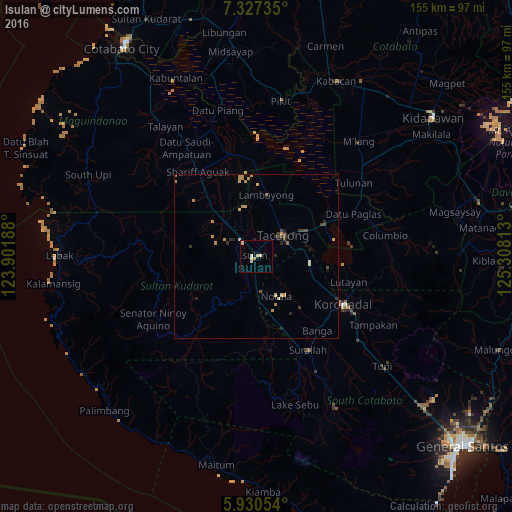
Analysis of Isulan night lights 2016
Square area 10x10 km:
 0%
0%90-99
2.81%80-89
2.6%70-79
0.43%60-69
0.43%50-59
0%40-49
0%30-39
0%20-29
0.43%10-19
0%0-9
93.29%Square area 50x50 km:
0%90-99
0.21%80-89
0.24%70-79
0.62%60-69
0.17%50-59
0.14%40-49
0.25%30-39
0.35%20-29
0.42%10-19
0.18%0-9
97.41%Clear (daylight) street map image can be seen on geolist.org.
Map coordinates:
7° 19' 38.5" North, 123° 54' 6.8" East
6° 37' 46" North, 124° 36' 18" East
5° 55' 49.9" North, 125° 18' 29.3" East
Some cities around Isulan sort by population:
• Tacurong
10.6 km =6.6 mi,  48°
48°
• Laguilayan
10 km =6.2 mi,  298°
298°
• Norala
13.3 km =8.3 mi,  153°
153°
• Tantangan
16 km =9.9 mi,  95°
95°
• Esperanza
14 km =8.7 mi,  317°
317°
• Lopez Jaena
19.9 km =12.4 mi, 148°
• Kauran
23.6 km =14.7 mi, 320°
• Gansing
11.3 km =7 mi,  28°
28°
1710470 (p: 31,717)
Sources (retrieved 2019-11-25):
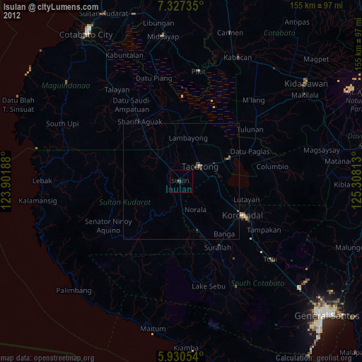
» Earth at Night: Flat Maps 2012, 2016