Gansing night lights from space
Night Light of Gansing (Soccsksargen) from space (Philippines) Src. Average luminocity for 10x10km area is 4.1905% and for 50x50km: 1.9709%.
Analysis of Gansing night lights 2016
Square area 10x10 km:
 0%
0%90-99
0%80-89
0%70-79
0.87%60-69
0%50-59
0%40-49
2.6%30-39
4.11%20-29
1.3%10-19
1.08%0-9
90.04%Square area 50x50 km:
0.01%90-99
0.27%80-89
0.25%70-79
0.72%60-69
0.25%50-59
0.16%40-49
0.27%30-39
0.37%20-29
0.38%10-19
0.15%0-9
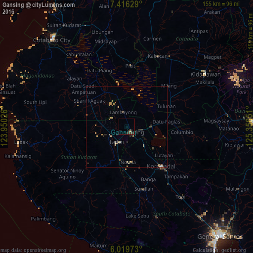
97.17%Clear (daylight) street map image can be seen on geolist.org.
Map coordinates:
7° 24' 58.6" North, 123° 57' 0.9" East
6° 43' 6.6" North, 124° 39' 12.2" East
6° 1' 11" North, 125° 21' 23.4" East
Some cities around Gansing sort by population:
• Tacurong
3.8 km =2.4 mi,  138°
138°
• Isulan
11.3 km =7 mi,  208°
208°
• Buluan
16.4 km =10.2 mi,  89°
89°
• Laguilayan
15.1 km =9.4 mi,  250°
250°
• Tantangan
15.6 km =9.7 mi, 137°
• Digal
16.3 km =10.1 mi,  76°
76°
• Badak
16.1 km =10 mi,  27°
27°
• Esperanza
14.8 km =9.2 mi,  271°
271°
1713245 (p: 5,031)
Sources (retrieved 2019-11-25):
» Earth at Night: Flat Maps 2012, 2016