Esperanza night lights from space
Night Light of Esperanza (Soccsksargen) from space (Philippines) Src. Average luminocity for 10x10km area is 2.474% and for 50x50km: 1.5977%.
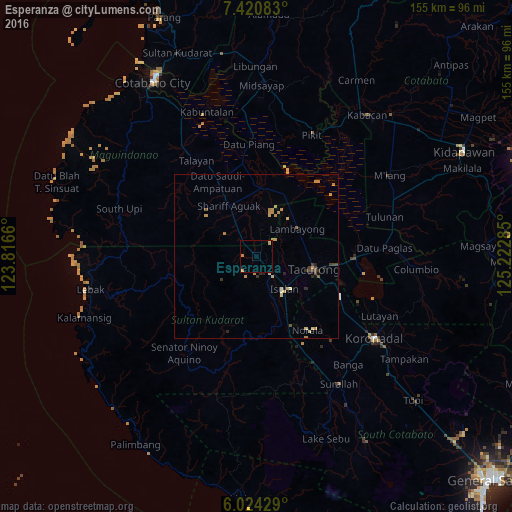
Analysis of Esperanza night lights 2016
Square area 10x10 km:
 0%
0%90-99
0%80-89
0%70-79
1.95%60-69
0.87%50-59
0%40-49
0%30-39
0%20-29
0%10-19
0%0-9
97.19%Square area 50x50 km:
0%90-99
0.14%80-89
0.25%70-79
0.67%60-69
0.2%50-59
0.14%40-49
0.16%30-39
0.29%20-29
0.29%10-19
0.11%0-9
97.74%Clear (daylight) street map image can be seen on geolist.org.
Map coordinates:
7° 25' 15" North, 123° 48' 59.8" East
6° 43' 23" North, 124° 31' 11" East
6° 1' 27.4" North, 125° 13' 22.3" East
Some cities around Esperanza sort by population:
• Tacurong
17.6 km =10.9 mi,  101°
101°
• Isulan
14 km =8.7 mi,  137°
137°
• Laguilayan
5.7 km =3.5 mi,  174°
174°
• Maganoy
18 km =11.2 mi,  331°
331°
• Badak
26.1 km =16.2 mi,  58°
58°
• Sampao
19 km =11.8 mi,  26°
26°
• Kauran
9.6 km =6 mi, 325°
• Gansing
14.8 km =9.2 mi,  91°
91°
1713788 (p: 6,009)
Sources (retrieved 2019-11-25):
» Earth at Night: Flat Maps 2012, 2016