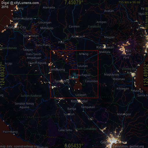
Digal night lights from space
Night Light of Digal (Autonomous Region in Muslim Mindanao) from space (Philippines) Src. Average luminocity for 10x10km area is 1.0087% and for 50x50km: 1.2575%.
Analysis of Digal night lights 2016
Square area 10x10 km:
 0%
0%90-99
0%80-89
0%70-79
0%60-69
0%50-59
0%40-49
1.3%30-39
0.43%20-29
0.87%10-19
0%0-9
97.4%Square area 50x50 km:
0%90-99
0.18%80-89
0.1%70-79
0.47%60-69
0.08%50-59
0.1%40-49
0.26%30-39
0.34%20-29
0.22%10-19
0.14%0-9
98.1%Clear (daylight) street map image can be seen on geolist.org.
Map coordinates:
7° 27' 2.8" North, 124° 5' 35.8" East
6° 45' 11" North, 124° 47' 47" East
6° 3' 15.6" North, 125° 29' 58.3" East
Some cities around Digal sort by population:
• Tacurong
14.9 km =9.3 mi,  243°
243°
• Buluan
3.7 km =2.3 mi,  170°
170°
• Tantangan
16.2 km =10.1 mi,  198°
198°
• Tulunan
12.7 km =7.9 mi,  44°
44°
• Bagontapay
17.1 km =10.6 mi,  46°
46°
• Badak
13.4 km =8.3 mi,  321°
321°
• Columbio
16.8 km =10.4 mi,  112°
112°
• Gansing
16.3 km =10.1 mi,  256°
256°
1714970 (p: 6,810)
Sources (retrieved 2019-11-25):
» Earth at Night: Flat Maps 2012, 2016