San Fernando night lights from space
Night Light of San Fernando (Central Luzon) from space (Philippines) Src. Average luminocity for 10x10km area is 57.5909% and for 50x50km: 19.7826%.
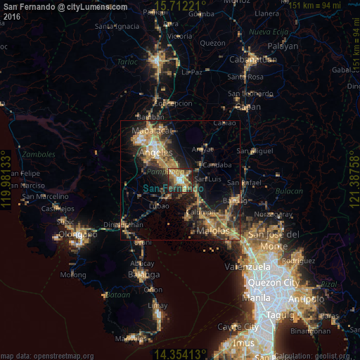
Analysis of San Fernando night lights 2016
Square area 10x10 km:
 6.61%
6.61%90-99
7.02%80-89
3.93%70-79
22.52%60-69
13.43%50-59
6.61%40-49
6.61%30-39
11.78%20-29
17.98%10-19
3.51%0-9
0%Square area 50x50 km:
0.85%90-99
1.15%80-89
1.61%70-79
5.36%60-69
5.58%50-59
2.28%40-49
4.32%30-39
4.11%20-29
6.46%10-19
12.17%0-9
56.11%Clear (daylight) street map image can be seen on geolist.org.
Map coordinates:
15° 42' 44" North, 119° 58' 52.8" East
15° 2' 3.3" North, 120° 41' 4" East
14° 21' 14.9" North, 121° 23' 15.3" East
Some cities around San Fernando sort by population:
• Bulaon
5.9 km =3.7 mi,  336°
336°
• Mexico
5.1 km =3.2 mi,  48°
48°
• Del Pilar
1.6 km =1 mi,  83°
83°
• Minalin
7.4 km =4.6 mi,  181°
181°
• Lourdes
7.5 km =4.7 mi, 180°
• Guagua
9.5 km =5.9 mi,  216°
216°
• San Jose
10.6 km =6.6 mi,  90°
90°
• Santo Domingo
7.9 km =4.9 mi,  127°
127°
1690039 (p: 251,248)
Sources (retrieved 2019-11-25):
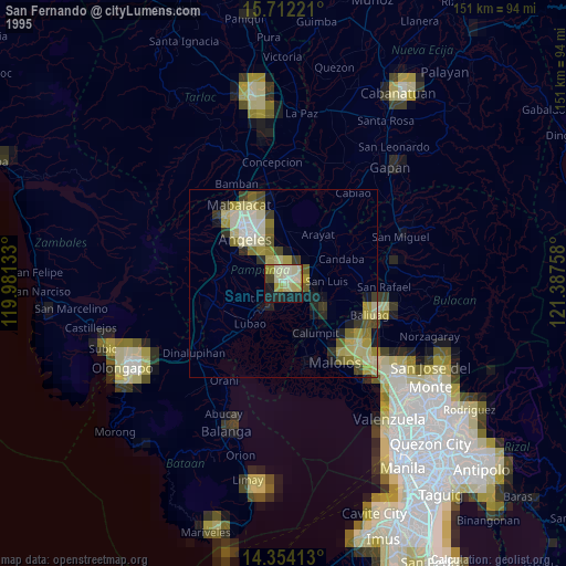
» NASA, Earths city lights 1995
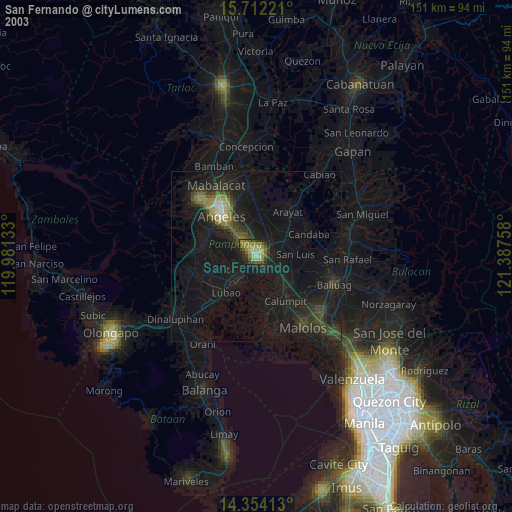
» NASA city lights 2003
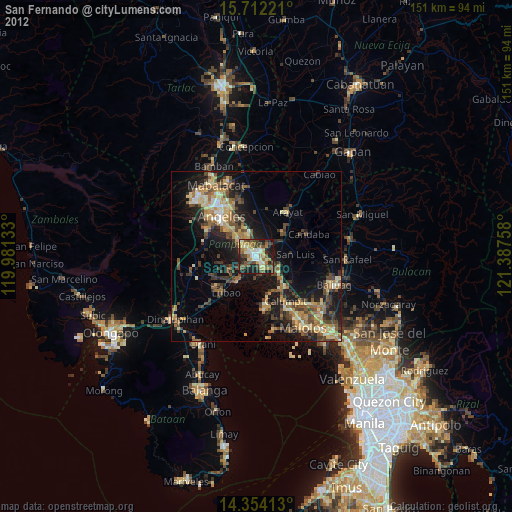
» Earth at Night: Flat Maps 2012, 2016