San Antonio night lights from space
Night Light of San Antonio (Central Luzon) from space (Philippines) Src. Average luminocity for 10x10km area is 3.5785% and for 50x50km: 6.1746%.
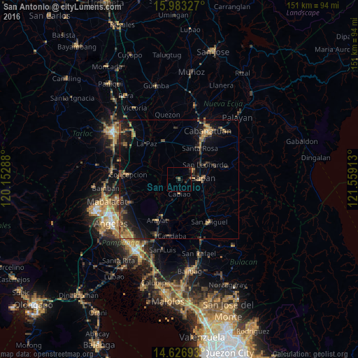
Analysis of San Antonio night lights 2016
Square area 10x10 km:
 0%
0%90-99
0%80-89
0%70-79
0%60-69
0.83%50-59
0%40-49
1.86%30-39
1.65%20-29
1.24%10-19
2.48%0-9
91.94%Square area 50x50 km:
0%90-99
0.03%80-89
0.41%70-79
1.41%60-69
1.42%50-59
0.76%40-49
1.66%30-39
1.46%20-29
2.33%10-19
5.32%0-9
85.21%Clear (daylight) street map image can be seen on geolist.org.
Map coordinates:
15° 58' 59.8" North, 120° 9' 10.4" East
15° 18' 22.3" North, 120° 51' 21.6" East
14° 37' 36.9" North, 121° 33' 32.9" East
Some cities around San Antonio sort by population:
• Gapan
9.7 km =6 mi,  89°
89°
• Cabiao
6.4 km =4 mi,  181°
181°
• Jaen
7.2 km =4.5 mi,  70°
70°
• Papaya
2.7 km =1.7 mi,  305°
305°
• San Francisco
5.8 km =3.6 mi,  342°
342°
• Santo Cristo
3.8 km =2.4 mi,  105°
105°
• San Mariano
2.7 km =1.7 mi,  52°
52°
• Entablado
2.3 km =1.4 mi,  160°
160°
1690313 (p: 26,247)
Sources (retrieved 2019-11-25):
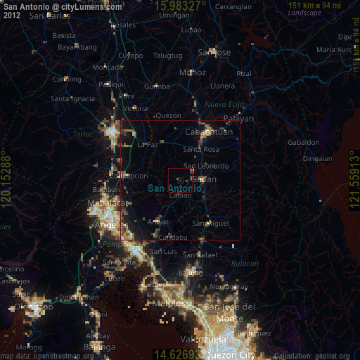
» Earth at Night: Flat Maps 2012, 2016