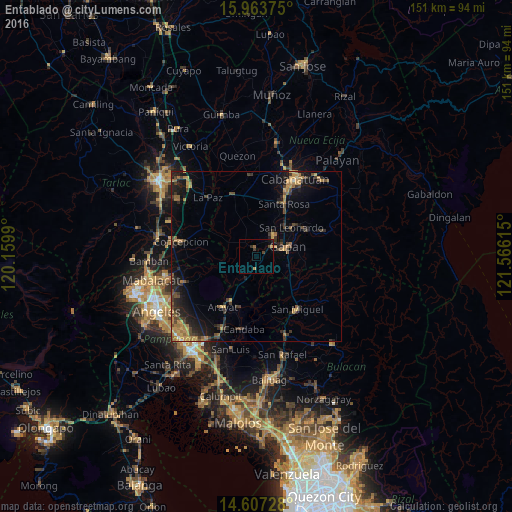
Entablado night lights from space
Night Light of Entablado (Central Luzon) from space (Philippines) Src. Average luminocity for 10x10km area is 4.0124% and for 50x50km: 6.3046%.
Analysis of Entablado night lights 2016
Square area 10x10 km:
 0%
0%90-99
0%80-89
0.21%70-79
0.21%60-69
1.65%50-59
0%40-49
1.65%30-39
1.03%20-29
0.62%10-19
3.1%0-9
91.53%Square area 50x50 km:
0.05%90-99
0.07%80-89
0.39%70-79
1.46%60-69
1.6%50-59
0.75%40-49
1.69%30-39
1.58%20-29
2.23%10-19
4.81%0-9
85.38%Clear (daylight) street map image can be seen on geolist.org.
Map coordinates:
15° 57' 49.5" North, 120° 9' 35.6" East
15° 17' 11.8" North, 120° 51' 46.9" East
14° 36' 26.2" North, 121° 33' 58.1" East
Some cities around Entablado sort by population:
• Cabiao
4.3 km =2.7 mi,  191°
191°
• Jaen
7.5 km =4.7 mi,  52°
52°
• Papaya
4.7 km =2.9 mi,  321°
321°
• San Antonio
2.3 km =1.4 mi,  340°
340°
• San Francisco
8.1 km =5 mi, 342°
• Pulo
8.3 km =5.2 mi,  122°
122°
• Santo Cristo
3.1 km =1.9 mi,  68°
68°
• San Mariano
4.1 km =2.5 mi,  20°
20°
1713850 (p: 5,202)
Sources (retrieved 2019-11-25):
» Earth at Night: Flat Maps 2012, 2016