Cabiao night lights from space
Night Light of Cabiao (Central Luzon) from space (Philippines) Src. Average luminocity for 10x10km area is 1.2479% and for 50x50km: 7.1881%.
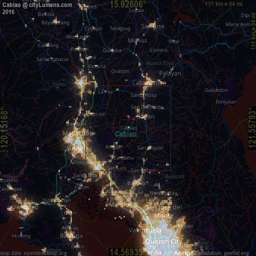

Analysis of Cabiao night lights 2016
Square area 10x10 km:
 0%
0%90-99
0%80-89
0%70-79
0%60-69
0.83%50-59
0%40-49
0.41%30-39
0%20-29
0.41%10-19
0.41%0-9
97.93%Square area 50x50 km:
0.24%90-99
0.29%80-89
0.32%70-79
1.65%60-69
1.81%50-59
0.83%40-49
1.72%30-39
1.82%20-29
2.72%10-19
4.69%0-9
83.91%Clear (daylight) street map image can be seen on geolist.org.
Map coordinates:
15° 55' 33.8" North, 120° 9' 6" East
15° 14' 55.7" North, 120° 51' 17.3" East
14° 34' 9.7" North, 121° 33' 28.5" East
Some cities around Cabiao sort by population:
• Jaen
11.1 km =6.9 mi,  38°
38°
• Papaya
8.2 km =5.1 mi,  345°
345°
• San Antonio
6.4 km =4 mi,  1°
1°
• Pulo
7.9 km =4.9 mi,  92°
92°
• Santo Cristo
6.6 km =4.1 mi, 35°
• San Vicente
5.5 km =3.4 mi,  224°
224°
• San Mariano
8.3 km =5.2 mi,  15°
15°
• Entablado
4.3 km =2.7 mi,  11°
11°
1721636 (p: 49,980)
Sources (retrieved 2019-11-25):
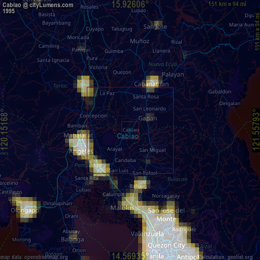
» NASA, Earths city lights 1995
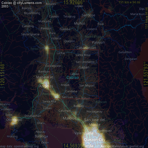
» NASA city lights 2003
» Earth at Night: Flat Maps 2012, 2016