Gapan night lights from space
Night Light of Gapan (Central Luzon) from space (Philippines) Src. Average luminocity for 10x10km area is 12.5868% and for 50x50km: 3.277%.
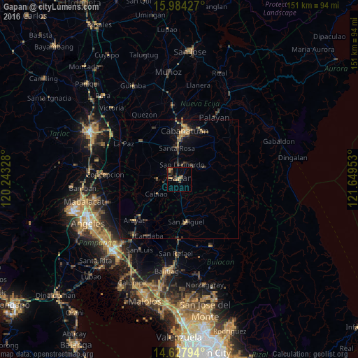

Analysis of Gapan night lights 2016
Square area 10x10 km:
 0%
0%90-99
0%80-89
0.83%70-79
3.93%60-69
3.31%50-59
0.62%40-49
4.34%30-39
2.48%20-29
4.13%10-19
3.72%0-9
76.65%Square area 50x50 km:
0%90-99
0.03%80-89
0.26%70-79
0.88%60-69
0.55%50-59
0.33%40-49
0.83%30-39
0.94%20-29
0.94%10-19
2.46%0-9
92.78%Clear (daylight) street map image can be seen on geolist.org.
Map coordinates:
15° 59' 3.4" North, 120° 14' 35.8" East
15° 18' 25.9" North, 120° 56' 47" East
14° 37' 40.6" North, 121° 38' 58.3" East
Some cities around Gapan sort by population:
• Jaen
3.7 km =2.3 mi,  307°
307°
• San Leonardo
6.5 km =4 mi,  16°
16°
• Peñaranda
7.9 km =4.9 mi,  51°
51°
• Pulo
7.1 km =4.4 mi,  195°
195°
• Santo Cristo
6.1 km =3.8 mi,  259°
259°
• Nieves
2.4 km =1.5 mi,  6°
6°
• San Mariano
7.7 km =4.8 mi,  281°
281°
• Entablado
9.2 km =5.7 mi, 255°
1713226 (p: 79,064)
Sources (retrieved 2019-11-25):
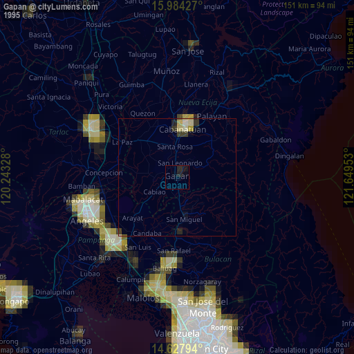
» NASA, Earths city lights 1995
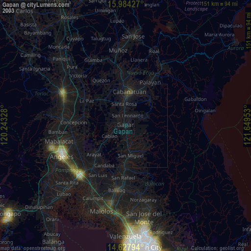
» NASA city lights 2003
» Earth at Night: Flat Maps 2012, 2016