Quiapo night lights from space
Night Light of Quiapo (Metro Manila) from space (Philippines) Src. Average luminocity for 10x10km area is 88.2641% and for 50x50km: 43.8768%.
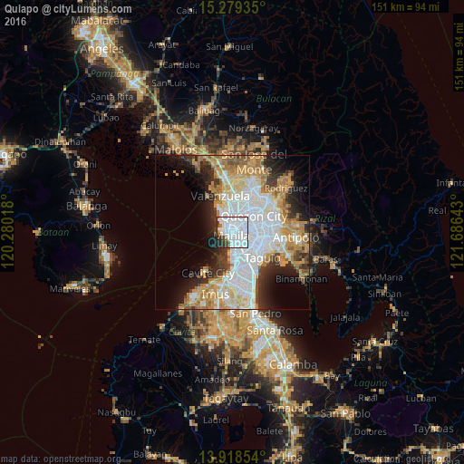
Analysis of Quiapo night lights 2016
Square area 10x10 km:
 65.15%
90-99
14.5%80-89
0%70-79
0.87%60-69
3.46%50-59
2.81%40-49
3.03%30-39
6.06%20-29
4.11%10-19
0%0-9
0%Square area 50x50 km:
14.38%90-99
8.68%80-89
4.66%70-79
7.46%60-69
6.59%50-59
2.61%40-49
2.54%30-39
4.37%20-29
6.41%10-19
8.22%0-9
34.08%Clear (daylight) street map image can be seen on geolist.org.
Map coordinates:
15° 16' 45.7" North, 120° 16' 48.6" East
14° 36' 0" North, 120° 58' 59.9" East
13° 55' 6.7" North, 121° 41' 11.1" East
Some cities around Quiapo sort by population:
• Manila
0.5 km =0.3 mi,  345°
345°
• Caloocan City
5.8 km =3.6 mi,  343°
343°
• Makati City
7.7 km =4.8 mi,  136°
136°
• Pasay
7.2 km =4.5 mi,  164°
164°
• Mandaluyong City
6.5 km =4 mi,  106°
106°
• San Juan
5.4 km =3.4 mi,  90°
90°
• Port Area
2.6 km =1.6 mi,  223°
223°
• Del Monte
5.9 km =3.7 mi,  38°
38°
1692184 (p: 23,138)
Sources (retrieved 2019-11-25):
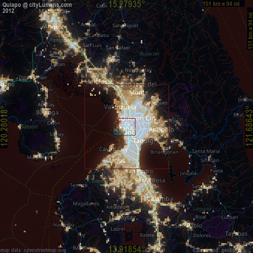
» Earth at Night: Flat Maps 2012, 2016