Mandaluyong City night lights from space
Night Light of Mandaluyong City (Metro Manila) from space (Philippines) Src. Average luminocity for 10x10km area is 99.8723% and for 50x50km: 44.9169%.
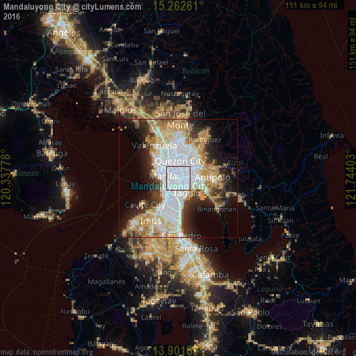
Analysis of Mandaluyong City night lights 2016
Square area 10x10 km:
 91.13%
90-99
8.87%80-89
0%70-79
0%60-69
0%50-59
0%40-49
0%30-39
0%20-29
0%10-19
0%0-9
0%Square area 50x50 km:
14.46%90-99
8.96%80-89
4.73%70-79
7.48%60-69
6.54%50-59
2.58%40-49
2.74%30-39
5.05%20-29
6.94%10-19
9.43%0-9
31.11%Clear (daylight) street map image can be seen on geolist.org.
Map coordinates:
15° 15' 45.4" North, 120° 20' 16" East
14° 34' 59.5" North, 121° 2' 27.2" East
13° 54' 6.1" North, 121° 44' 38.5" East
Some cities around Mandaluyong City sort by population:
• Manila
6.7 km =4.2 mi,  290°
290°
• Pasig City
2.2 km =1.4 mi,  79°
79°
• Makati City
3.8 km =2.4 mi,  193°
193°
• Pasay
6.6 km =4.1 mi,  219°
219°
• San Juan
2 km =1.2 mi,  336°
336°
• Quiapo
6.5 km =4 mi, 286°
• Calumpang
6.9 km =4.3 mi,  50°
50°
• Del Monte
7 km =4.3 mi, 339°
1701966 (p: 305,576)
Sources (retrieved 2019-11-25):
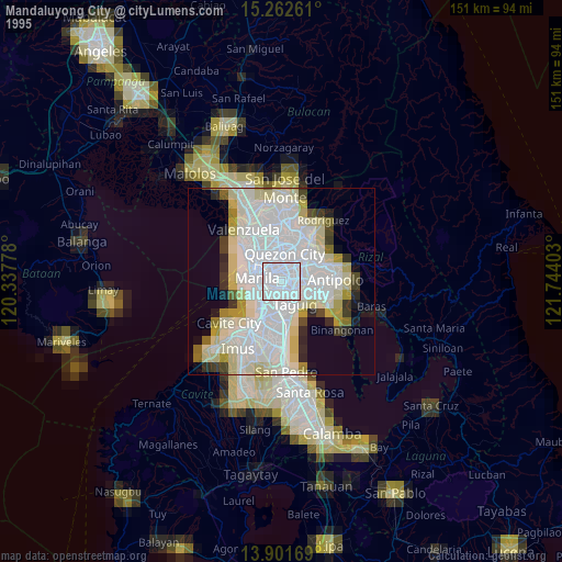
» NASA, Earths city lights 1995
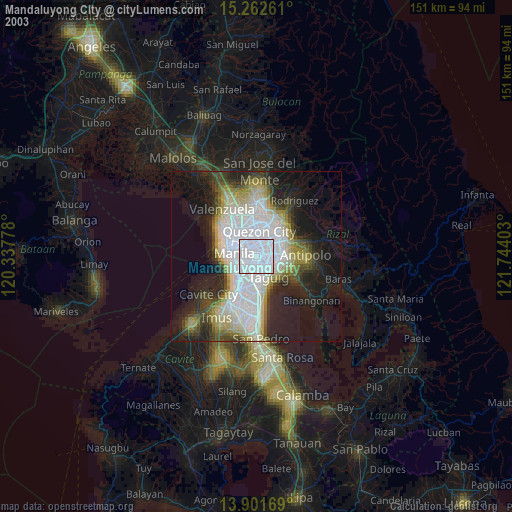
» NASA city lights 2003
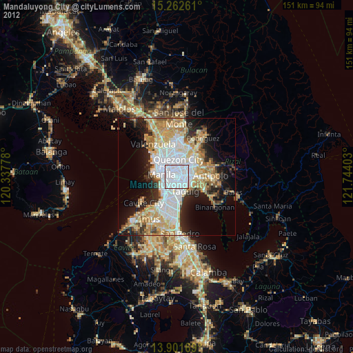
» Earth at Night: Flat Maps 2012, 2016