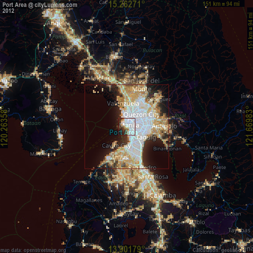
Port Area night lights from space
Night Light of Port Area (Metro Manila) from space (Philippines) Src. Average luminocity for 10x10km area is 68.8225% and for 50x50km: 43.2387%.
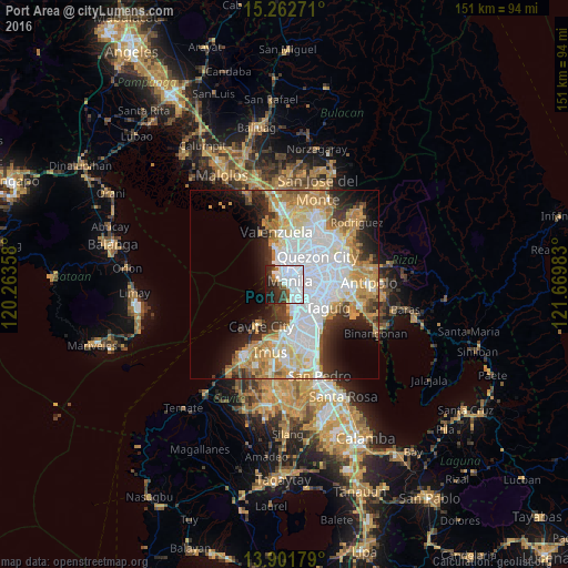
Analysis of Port Area night lights 2016
Square area 10x10 km:
 40.48%
90-99
13.2%80-89
0.22%70-79
1.52%60-69
3.03%50-59
3.68%40-49
3.46%30-39
10.82%20-29
14.94%10-19
8.44%0-9
0.22%Square area 50x50 km:
14.44%90-99
8.94%80-89
4.66%70-79
7.22%60-69
6.18%50-59
2.32%40-49
2.27%30-39
4.2%20-29
6.23%10-19
7.64%0-9
35.89%Clear (daylight) street map image can be seen on geolist.org.
Map coordinates:
15° 15' 45.8" North, 120° 15' 48.9" East
14° 34' 59.9" North, 120° 58' 0.1" East
13° 54' 6.4" North, 121° 40' 11.4" East
Some cities around Port Area sort by population:
• Manila
2.9 km =1.8 mi,  35°
35°
• Caloocan City
7.4 km =4.6 mi,  0°
0°
• Makati City
8 km =5 mi,  117°
117°
• Pasay
6.3 km =3.9 mi,  143°
143°
• Mandaluyong City
8 km =5 mi,  90°
90°
• San Juan
7.4 km =4.6 mi,  75°
75°
• Quiapo
2.6 km =1.6 mi, 43°
• Del Monte
8.5 km =5.3 mi, 40°
1692872 (p: 48,684)
Sources (retrieved 2019-11-25):
» Earth at Night: Flat Maps 2012, 2016