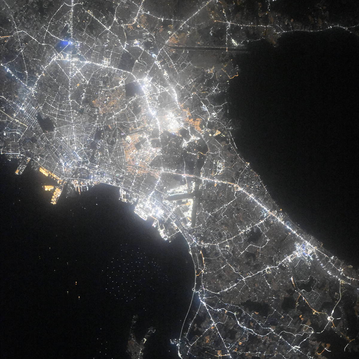
Manila night lights from space
Night Light of Manila (Metro Manila) from space (Philippines) Src. Average luminocity for 10x10km area is 89.5065% and for 50x50km: 43.8293%.
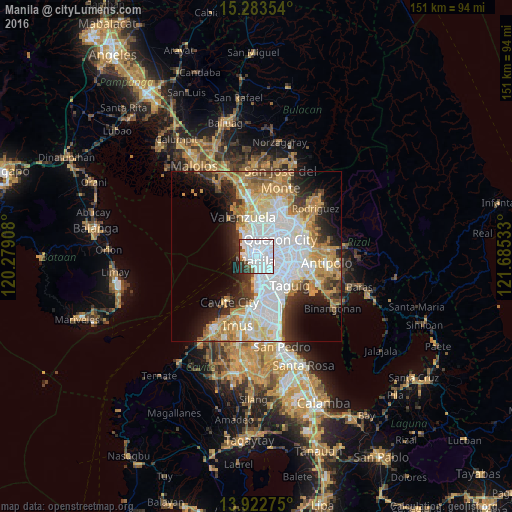
Analysis of Manila night lights 2016
Square area 10x10 km:
 66.88%
90-99
14.5%80-89
0%70-79
0.87%60-69
3.9%50-59
2.38%40-49
2.81%30-39
5.41%20-29
3.25%10-19
0%0-9
0%Square area 50x50 km:
14.33%90-99
8.6%80-89
4.67%70-79
7.41%60-69
6.68%50-59
2.65%40-49
2.6%30-39
4.38%20-29
6.4%10-19
8.29%0-9
33.99%Clear (daylight) street map image can be seen on geolist.org.
Map coordinates:
15° 17' 0.7" North, 120° 16' 44.7" East
14° 36' 15.1" North, 120° 58' 55.9" East
13° 55' 21.9" North, 121° 41' 7.2" East
Fantastic image of Manila from space taken by astronauts [src2], but I don't have information about it's orientation, scale or angle. If necessary, it was rotated manually, so North points approximately to upper direction. Click to zoom in:
Some cities around Manila sort by population:
• Caloocan City
5.3 km =3.3 mi,  343°
343°
• Pasay
7.7 km =4.8 mi,  164°
164°
• Mandaluyong City
6.7 km =4.2 mi,  110°
110°
• Navotas
7.8 km =4.8 mi,  333°
333°
• San Juan
5.5 km =3.4 mi,  94°
94°
• Port Area
2.9 km =1.8 mi,  215°
215°
• Quiapo
0.5 km =0.3 mi,  165°
165°
• Del Monte
5.7 km =3.5 mi,  42°
42°
1701668 (p: 1,600,000)
Sources (retrieved 2019-11-25):
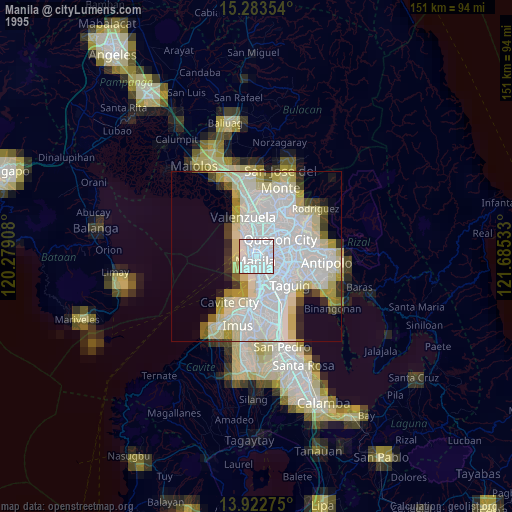
» NASA, Earths city lights 1995
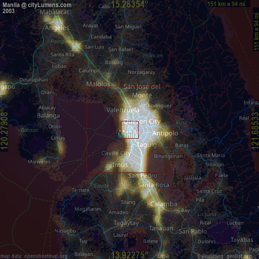
» NASA city lights 2003
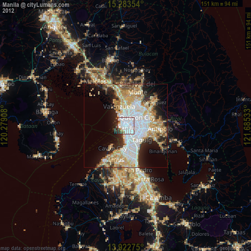
» Earth at Night: Flat Maps 2012, 2016
Src.2: picture by Oleg Kononenko,ĀRoscosmos, retrieved 2019-11-29