Pililla night lights from space
Night Light of Pililla (Calabarzon) from space (Philippines) Src. Average luminocity for 10x10km area is 11.3333% and for 50x50km: 16.1172%.
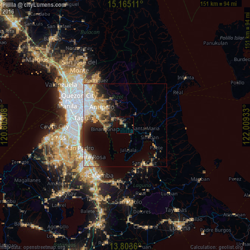
Analysis of Pililla night lights 2016
Square area 10x10 km:
 0%
0%90-99
0%80-89
0.22%70-79
2.38%60-69
4.55%50-59
1.08%40-49
3.46%30-39
3.9%20-29
1.95%10-19
2.6%0-9
79.87%Square area 50x50 km:
3.07%90-99
2.81%80-89
1.65%70-79
3.4%60-69
2.76%50-59
1.13%40-49
1.5%30-39
2.6%20-29
3.84%10-19
5.69%0-9
71.55%Clear (daylight) street map image can be seen on geolist.org.
Map coordinates:
15° 9' 54.4" North, 120° 36' 11.1" East
14° 29' 7.4" North, 121° 18' 22.3" East
13° 48' 13" North, 122° 0' 33.6" East
Some cities around Pililla sort by population:
• Binangonan
12.4 km =7.7 mi,  259°
259°
• Tanay
2.6 km =1.6 mi,  298°
298°
• Morong
8.2 km =5.1 mi, 296°
• Cardona
8.5 km =5.3 mi,  270°
270°
• Baras
5.6 km =3.5 mi,  308°
308°
• Sampaloc
8.4 km =5.2 mi,  43°
43°
• Malaya
10.4 km =6.5 mi,  160°
160°
• Quisao
6.4 km =4 mi,  151°
151°
1693778 (p: 30,408)
Sources (retrieved 2019-11-25):
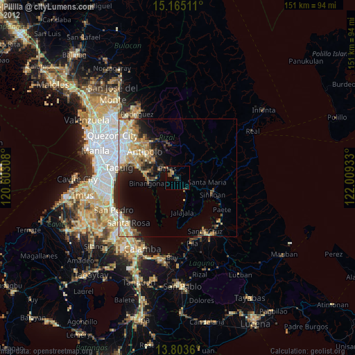
» Earth at Night: Flat Maps 2012, 2016