Morong night lights from space
Night Light of Morong (Calabarzon) from space (Philippines) Src. Average luminocity for 10x10km area is 29.7229% and for 50x50km: 28.9118%.
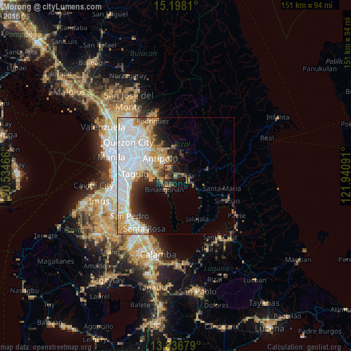
Analysis of Morong night lights 2016
Square area 10x10 km:
 0%
0%90-99
0%80-89
1.3%70-79
6.93%60-69
5.41%50-59
6.93%40-49
9.96%30-39
13.85%20-29
8.01%10-19
24.24%0-9
23.38%Square area 50x50 km:
10.84%90-99
6.01%80-89
2.38%70-79
4.51%60-69
3.06%50-59
1.4%40-49
1.82%30-39
3.08%20-29
3.8%10-19
5.34%0-9
57.77%Clear (daylight) street map image can be seen on geolist.org.
Map coordinates:
15° 11' 53.2" North, 120° 32' 4.8" East
14° 31' 6.6" North, 121° 14' 16" East
13° 50' 12.4" North, 121° 56' 27.3" East
Some cities around Morong sort by population:
• Binangonan
7.7 km =4.8 mi,  218°
218°
• Angono
9.1 km =5.7 mi,  275°
275°
• Tanay
5.6 km =3.5 mi,  115°
115°
• Teresa
5.1 km =3.2 mi,  337°
337°
• Pililla
8.2 km =5.1 mi, 116°
• Cardona
3.7 km =2.3 mi,  197°
197°
• Baras
3 km =1.9 mi,  93°
93°
• Pinugay
9.1 km =5.7 mi,  16°
16°
1699205 (p: 49,589)
Sources (retrieved 2019-11-25):
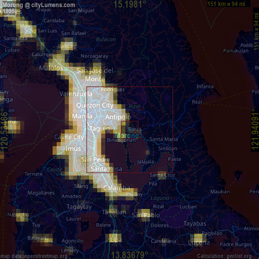
» NASA, Earths city lights 1995
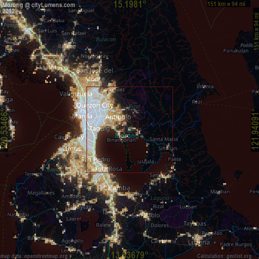
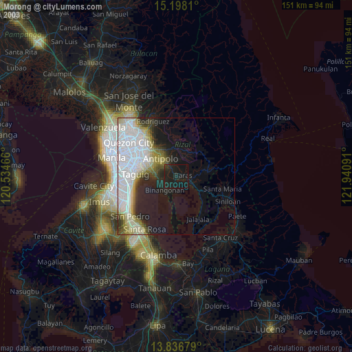
» NASA city lights 2003
» Earth at Night: Flat Maps 2012, 2016