Paombong night lights from space
Night Light of Paombong (Central Luzon) from space (Philippines) Src. Average luminocity for 10x10km area is 28.4897% and for 50x50km: 21.8731%.
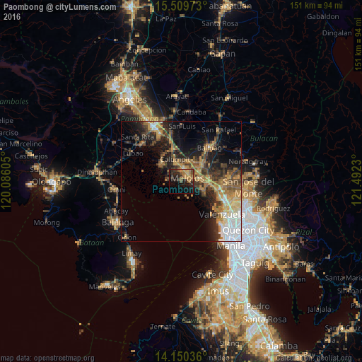
Analysis of Paombong night lights 2016
Square area 10x10 km:
 0%
0%90-99
0.41%80-89
2.27%70-79
7.64%60-69
8.88%50-59
4.75%40-49
6.61%30-39
5.99%20-29
11.16%10-19
25.62%0-9
26.65%Square area 50x50 km:
3.12%90-99
2.03%80-89
2.13%70-79
4.81%60-69
4.65%50-59
2.55%40-49
3.83%30-39
4.17%20-29
6.04%10-19
10.86%0-9
55.82%Clear (daylight) street map image can be seen on geolist.org.
Map coordinates:
15° 30' 35" North, 120° 5' 9.8" East
14° 49' 52" North, 120° 47' 21" East
14° 9' 1.3" North, 121° 29' 32.3" East
Some cities around Paombong sort by population:
• Malolos
2.7 km =1.7 mi,  57°
57°
• Hagonoy
6.1 km =3.8 mi,  273°
273°
• Calumpit
9.8 km =6.1 mi,  345°
345°
• Pulilan
10.2 km =6.3 mi,  39°
39°
• Guiguinto
10.1 km =6.3 mi,  88°
88°
• Bulacan
10.5 km =6.5 mi,  113°
113°
• Plaridel
9.6 km =6 mi,  49°
49°
• Balagtas
8.5 km =5.3 mi,  100°
100°
1694861 (p: 41,384)
Sources (retrieved 2019-11-25):
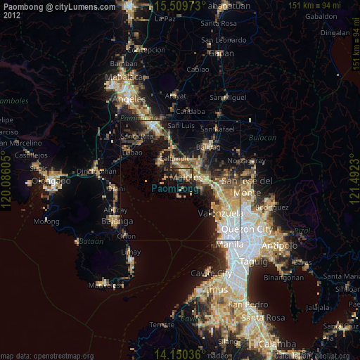
» Earth at Night: Flat Maps 2012, 2016