Calumpit night lights from space
Night Light of Calumpit (Central Luzon) from space (Philippines) Src. Average luminocity for 10x10km area is 36.9504% and for 50x50km: 20.533%.
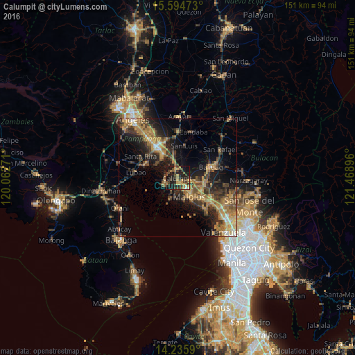

Analysis of Calumpit night lights 2016
Square area 10x10 km:
 0%
0%90-99
1.65%80-89
2.89%70-79
12.6%60-69
6.2%50-59
4.96%40-49
11.36%30-39
9.71%20-29
14.26%10-19
34.71%0-9
1.65%Square area 50x50 km:
0.72%90-99
1.21%80-89
1.86%70-79
5.57%60-69
5.75%50-59
2.44%40-49
4.41%30-39
4.73%20-29
6.8%10-19
11.75%0-9
54.77%Clear (daylight) street map image can be seen on geolist.org.
Map coordinates:
15° 35' 41" North, 120° 3' 45.8" East
14° 54' 59" North, 120° 45' 57" East
14° 14' 9.2" North, 121° 28' 8.3" East
Some cities around Calumpit sort by population:
• Malolos
9.3 km =5.8 mi,  149°
149°
• Apalit
4.1 km =2.5 mi,  6°
6°
• Pulilan
9.1 km =5.7 mi,  100°
100°
• Masantol
6.5 km =4 mi,  249°
249°
• San Simon
9.4 km =5.8 mi, 9°
• Balucuc
6.6 km =4.1 mi,  52°
52°
• San Vicente
3.8 km =2.4 mi,  330°
330°
• Santo Domingo
8.7 km =5.4 mi,  343°
343°
1720034 (p: 91,815)
Sources (retrieved 2019-11-25):
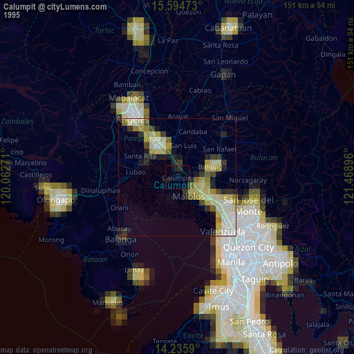
» NASA, Earths city lights 1995
» NASA city lights 2003
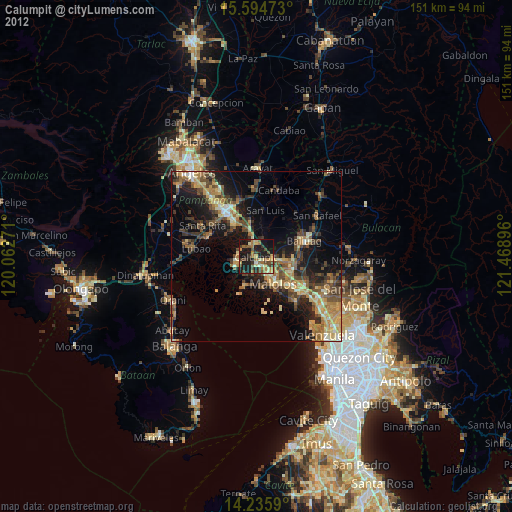
» Earth at Night: Flat Maps 2012, 2016