Malolos night lights from space
Night Light of Malolos (Central Luzon) from space (Philippines) Src. Average luminocity for 10x10km area is 43.0289% and for 50x50km: 23.7665%.
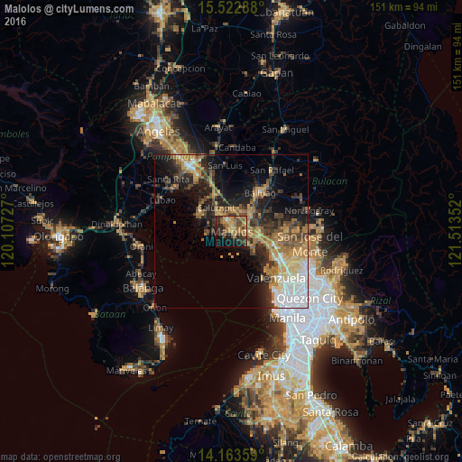
Analysis of Malolos night lights 2016
Square area 10x10 km:
 0%
0%90-99
1.86%80-89
3.51%70-79
13.22%60-69
16.32%50-59
7.44%40-49
12.19%30-39
8.47%20-29
11.98%10-19
18.18%0-9
6.82%Square area 50x50 km:
3.69%90-99
2.4%80-89
2.25%70-79
5.27%60-69
5.12%50-59
2.74%40-49
4%30-39
4.29%20-29
6.2%10-19
11.08%0-9
52.97%Clear (daylight) street map image can be seen on geolist.org.
Map coordinates:
15° 31' 22.4" North, 120° 6' 26.2" East
14° 50' 39.5" North, 120° 48' 37.4" East
14° 9' 48.9" North, 121° 30' 48.7" East
Some cities around Malolos sort by population:
• Hagonoy
8.4 km =5.2 mi,  262°
262°
• Calumpit
9.3 km =5.8 mi,  329°
329°
• Pulilan
7.6 km =4.7 mi,  33°
33°
• Guiguinto
7.9 km =4.9 mi,  98°
98°
• Bulacan
9.3 km =5.8 mi,  127°
127°
• Plaridel
6.9 km =4.3 mi,  46°
46°
• Balagtas
6.8 km =4.2 mi,  116°
116°
• Paombong
2.7 km =1.7 mi,  237°
237°
1702540 (p: 198,748)
Sources (retrieved 2019-11-25):
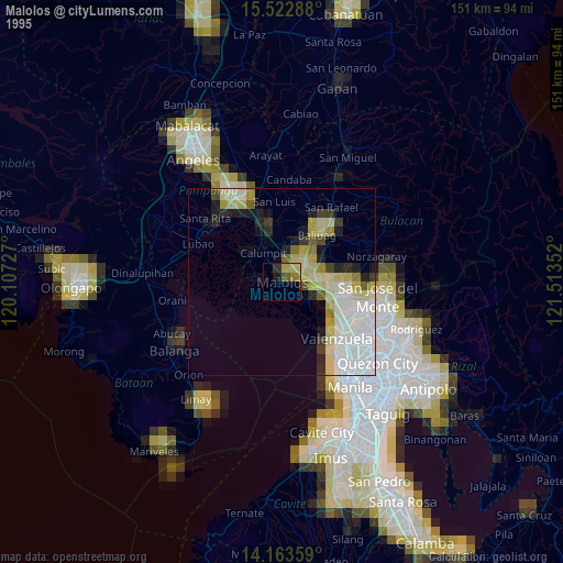
» NASA, Earths city lights 1995
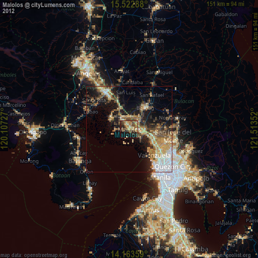
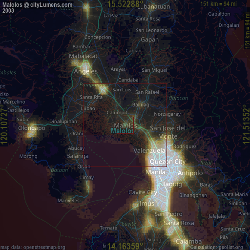
» NASA city lights 2003
» Earth at Night: Flat Maps 2012, 2016