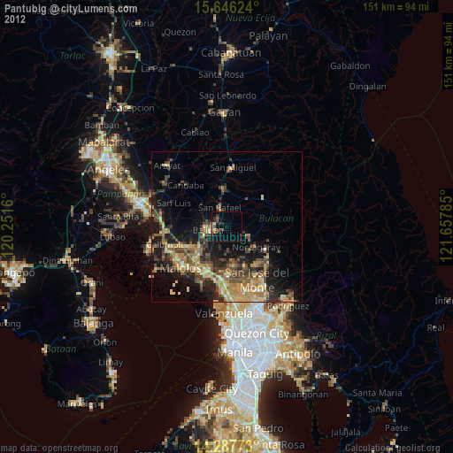
Pantubig night lights from space
Night Light of Pantubig (Central Luzon) from space (Philippines) Src. Average luminocity for 10x10km area is 13.9566% and for 50x50km: 17.5271%.
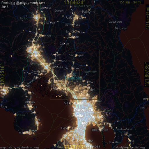
Analysis of Pantubig night lights 2016
Square area 10x10 km:
 0%
0%90-99
0%80-89
0.21%70-79
3.1%60-69
2.07%50-59
2.27%40-49
4.96%30-39
2.89%20-29
4.96%10-19
14.46%0-9
65.08%Square area 50x50 km:
0.29%90-99
0.71%80-89
1.52%70-79
4.91%60-69
5.3%50-59
2.64%40-49
3.78%30-39
4.35%20-29
5.56%10-19
10.21%0-9
60.74%Clear (daylight) street map image can be seen on geolist.org.
Map coordinates:
15° 38' 46.5" North, 120° 15' 5.8" East
14° 58' 5" North, 120° 57' 17" East
14° 17' 15.8" North, 121° 39' 28.3" East
Some cities around Pantubig sort by population:
• Baliuag
6.4 km =4 mi,  256°
256°
• Norzagaray
12 km =7.5 mi,  122°
122°
• San Ildefonso
12.6 km =7.8 mi,  353°
353°
• Bustos
4.1 km =2.5 mi,  254°
254°
• Angat
9.2 km =5.7 mi, 118°
• Pandi
11.5 km =7.1 mi,  178°
178°
• Bahay Pare
10.7 km =6.6 mi,  312°
312°
• Culianin
8.4 km =5.2 mi,  225°
225°
1694914 (p: 39,285)
Sources (retrieved 2019-11-25):
» Earth at Night: Flat Maps 2012, 2016