Angat night lights from space
Night Light of Angat (Central Luzon) from space (Philippines) Src. Average luminocity for 10x10km area is 9.5992% and for 50x50km: 18.0675%.
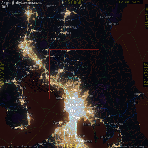
Analysis of Angat night lights 2016
Square area 10x10 km:
 0.21%
0.21%90-99
0.21%80-89
0%70-79
0%60-69
1.65%50-59
0.41%40-49
3.1%30-39
3.51%20-29
4.96%10-19
16.74%0-9
69.21%Square area 50x50 km:
0.91%90-99
1.45%80-89
2.19%70-79
4.99%60-69
5.56%50-59
2.38%40-49
3.11%30-39
3.43%20-29
4.28%10-19
7.66%0-9
64.05%Clear (daylight) street map image can be seen on geolist.org.
Map coordinates:
15° 36' 24.5" North, 120° 19' 36.8" East
14° 55' 42.6" North, 121° 1' 48" East
14° 14' 53" North, 121° 43' 59.3" East
Some cities around Angat sort by population:
• San Jose del Monte
12.8 km =8 mi,  172°
172°
• Guyong
11.7 km =7.3 mi,  208°
208°
• Baliuag
14.6 km =9.1 mi,  281°
281°
• Norzagaray
2.9 km =1.8 mi,  133°
133°
• Bustos
12.5 km =7.8 mi,  285°
285°
• Pantubig
9.2 km =5.7 mi,  298°
298°
• Pandi
10.5 km =6.5 mi,  227°
227°
• Culianin
14.2 km =8.8 mi,  263°
263°
1730749 (p: 41,235)
Sources (retrieved 2019-11-25):
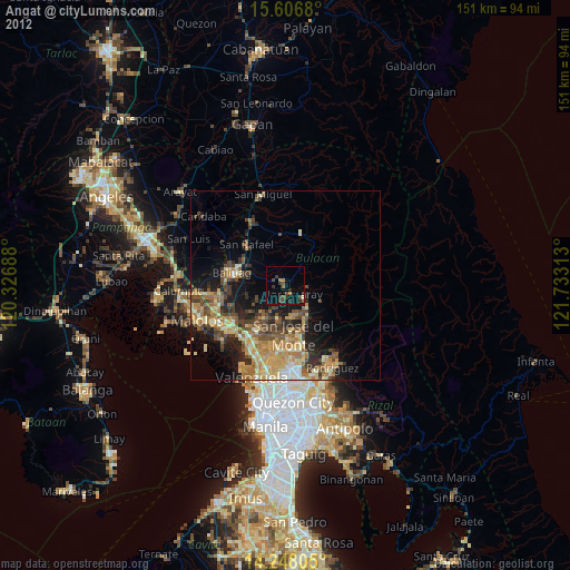
» Earth at Night: Flat Maps 2012, 2016