Norzagaray night lights from space
Night Light of Norzagaray (Central Luzon) from space (Philippines) Src. Average luminocity for 10x10km area is 15.6674% and for 50x50km: 19.2984%.
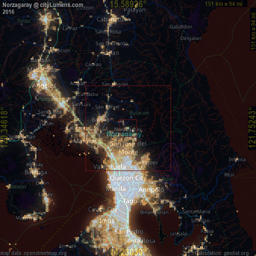
Analysis of Norzagaray night lights 2016
Square area 10x10 km:
 0.41%
0.41%90-99
0.41%80-89
0%70-79
1.03%60-69
3.1%50-59
2.07%40-49
4.55%30-39
6.2%20-29
6.2%10-19
26.45%0-9
49.59%Square area 50x50 km:
1.52%90-99
2.2%80-89
2.38%70-79
4.82%60-69
5.53%50-59
2.36%40-49
3.03%30-39
3.33%20-29
4.38%10-19
7.39%0-9
63.06%Clear (daylight) street map image can be seen on geolist.org.
Map coordinates:
15° 35' 21.3" North, 120° 20' 46.2" East
14° 54' 39.2" North, 121° 2' 57.5" East
14° 13' 49.4" North, 121° 45' 8.7" East
Some cities around Norzagaray sort by population:
• San Jose del Monte
10.8 km =6.7 mi,  182°
182°
• Guyong
11.3 km =7 mi,  222°
222°
• Bustos
15.1 km =9.4 mi,  290°
290°
• Angat
2.9 km =1.8 mi,  313°
313°
• Pantubig
12 km =7.5 mi,  302°
302°
• Pandi
11.1 km =6.9 mi,  242°
242°
• Loma de Gato
14.6 km =9.1 mi,  201°
201°
• Culianin
16.2 km =10.1 mi,  271°
271°
1697497 (p: 79,508)
Sources (retrieved 2019-11-25):
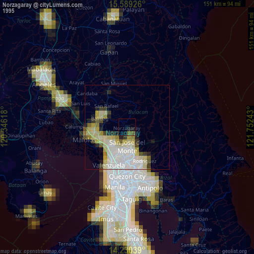
» NASA, Earths city lights 1995
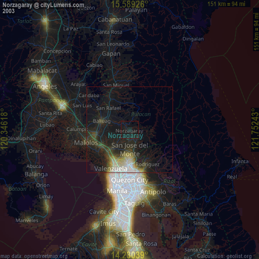
» NASA city lights 2003
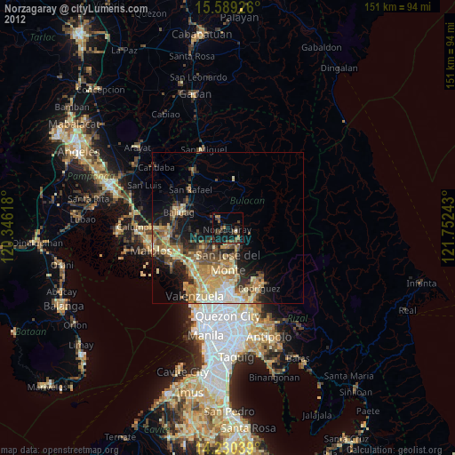
» Earth at Night: Flat Maps 2012, 2016