Pandi night lights from space
Night Light of Pandi (Central Luzon) from space (Philippines) Src. Average luminocity for 10x10km area is 37.0744% and for 50x50km: 27.4301%.
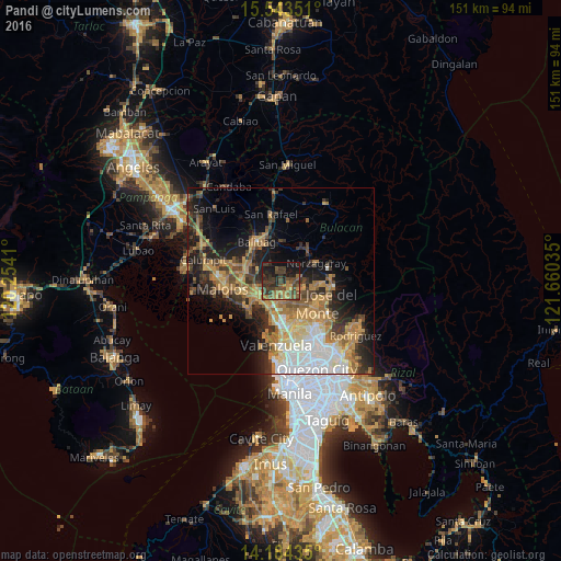
Analysis of Pandi night lights 2016
Square area 10x10 km:
 0%
0%90-99
0%80-89
1.03%70-79
8.26%60-69
9.09%50-59
8.47%40-49
14.88%30-39
17.77%20-29
15.08%10-19
19.83%0-9
5.58%Square area 50x50 km:
4.1%90-99
3.51%80-89
2.74%70-79
6.01%60-69
6.55%50-59
3.03%40-49
4%30-39
4.63%20-29
6.41%10-19
11.38%0-9
47.64%Clear (daylight) street map image can be seen on geolist.org.
Map coordinates:
15° 32' 36.6" North, 120° 15' 14.8" East
14° 51' 54" North, 120° 57' 26" East
14° 11' 3.7" North, 121° 39' 37.3" East
Some cities around Pandi sort by population:
• San Jose del Monte
11 km =6.8 mi,  120°
120°
• Guyong
3.9 km =2.4 mi,  144°
144°
• Bocaue
8.1 km =5 mi,  204°
204°
• Guiguinto
8.7 km =5.4 mi,  246°
246°
• Angat
10.5 km =6.5 mi,  47°
47°
• Loma de Gato
9.6 km =6 mi,  152°
152°
• Culianin
8.4 km =5.2 mi,  311°
311°
• Sulucan
8.5 km =5.3 mi, 203°
1695462 (p: 34,927)
Sources (retrieved 2019-11-25):
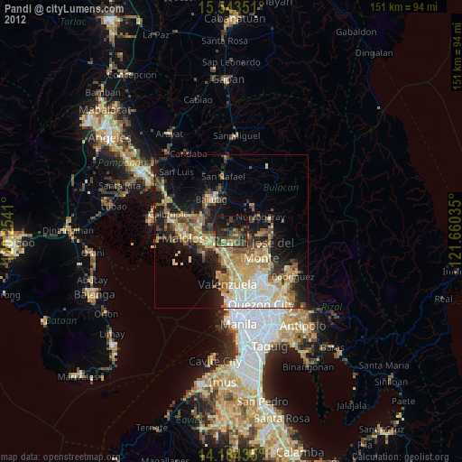
» Earth at Night: Flat Maps 2012, 2016