Baliuag night lights from space
Night Light of Baliuag (Central Luzon) from space (Philippines) Src. Average luminocity for 10x10km area is 28.0723% and for 50x50km: 20.5332%.
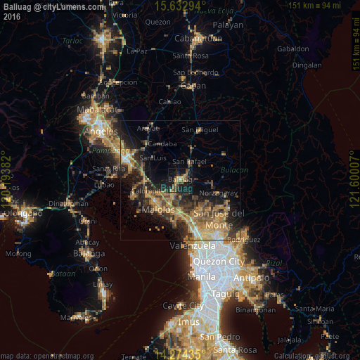

Analysis of Baliuag night lights 2016
Square area 10x10 km:
 0.21%
0.21%90-99
0.62%80-89
0.41%70-79
9.09%60-69
8.06%50-59
2.27%40-49
8.26%30-39
4.55%20-29
8.88%10-19
36.78%0-9
20.87%Square area 50x50 km:
0.62%90-99
1.13%80-89
2.06%70-79
5.59%60-69
5.81%50-59
3.03%40-49
4.16%30-39
4.7%20-29
6.28%10-19
11.66%0-9
54.97%Clear (daylight) street map image can be seen on geolist.org.
Map coordinates:
15° 37' 58.6" North, 120° 11' 37.8" East
14° 57' 17" North, 120° 53' 49" East
14° 16' 27.7" North, 121° 36' 0.3" East
Some cities around Baliuag sort by population:
• Pulilan
7.8 km =4.8 mi,  221°
221°
• Plaridel
8.6 km =5.3 mi,  209°
209°
• Bustos
2.3 km =1.4 mi,  80°
80°
• Pantubig
6.4 km =4 mi, 76°
• Bahay Pare
8.8 km =5.5 mi,  348°
348°
• Balucuc
8.9 km =5.5 mi,  268°
268°
• Culianin
4.4 km =2.7 mi,  177°
177°
• San Isidro
11.1 km =6.9 mi,  311°
311°
1727995 (p: 135,679)
Sources (retrieved 2019-11-25):
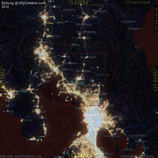
» NASA, Earths city lights 1995
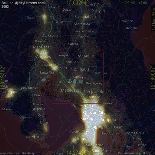
» NASA city lights 2003
» Earth at Night: Flat Maps 2012, 2016