Bustos night lights from space
Night Light of Bustos (Central Luzon) from space (Philippines) Src. Average luminocity for 10x10km area is 25.3574% and for 50x50km: 19.5861%.
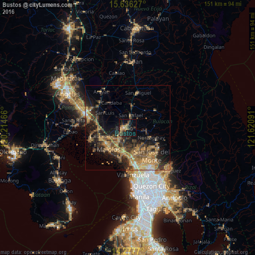
Analysis of Bustos night lights 2016
Square area 10x10 km:
 0.21%
0.21%90-99
0.62%80-89
0.41%70-79
7.85%60-69
6.82%50-59
2.27%40-49
8.26%30-39
4.55%20-29
6.82%10-19
26.24%0-9
35.95%Square area 50x50 km:
0.54%90-99
0.93%80-89
1.93%70-79
5.41%60-69
5.62%50-59
2.98%40-49
3.94%30-39
4.6%20-29
6.03%10-19
11.17%0-9
56.85%Clear (daylight) street map image can be seen on geolist.org.
Map coordinates:
15° 38' 10.6" North, 120° 12' 52.8" East
14° 57' 29" North, 120° 55' 4" East
14° 16' 39.7" North, 121° 37' 15.3" East
Some cities around Bustos sort by population:
• Baliuag
2.3 km =1.4 mi,  260°
260°
• Pulilan
9.7 km =6 mi,  229°
229°
• Plaridel
10.2 km =6.3 mi,  219°
219°
• Pantubig
4.1 km =2.5 mi,  74°
74°
• Pandi
11.2 km =7 mi,  157°
157°
• Bahay Pare
9.2 km =5.7 mi,  334°
334°
• Balucuc
11.1 km =6.9 mi,  266°
266°
• Culianin
5.2 km =3.2 mi,  203°
203°
1722267 (p: 42,139)
Sources (retrieved 2019-11-25):
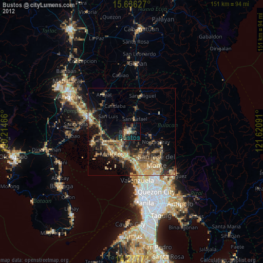
» Earth at Night: Flat Maps 2012, 2016