Odiongan night lights from space
Night Light of Odiongan (Mimaropa) from space (Philippines) Src. Average luminocity for 10x10km area is 0.6756% and for 50x50km: 0.0402%.
Analysis of Odiongan night lights 2016
Square area 10x10 km:
 0%
0%90-99
0%80-89
0%70-79
0.83%60-69
0%50-59
0%40-49
0%30-39
0%20-29
0%10-19
0%0-9
99.17%Square area 50x50 km:
0%90-99
0%80-89
0%70-79
0.03%60-69
0%50-59
0%40-49
0%30-39
0%20-29
0.03%10-19
0%0-9
99.93%Clear (daylight) street map image can be seen on geolist.org.
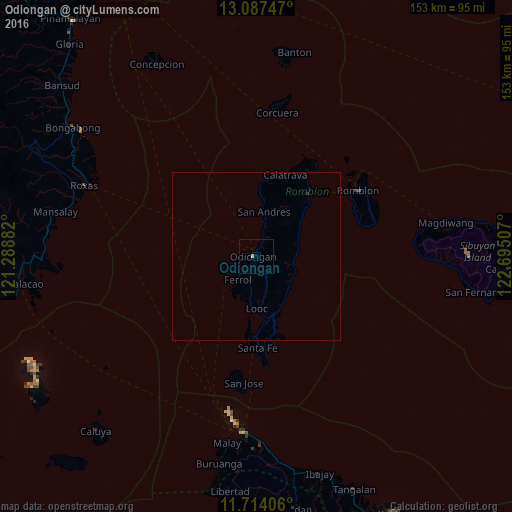
Map coordinates:
13° 5' 14.9" North, 121° 17' 19.8" East
12° 24' 6" North, 121° 59' 31" East
11° 42' 50.6" North, 122° 41' 42.3" East
Some cities around Odiongan sort by population:
• Pandan
74 km =46 mi,  170°
170°
• Mansalay
61.5 km =38.2 mi,  282°
282°
• Romblon
35.9 km =22.3 mi,  57°
57°
• Roxas
55.3 km =34.4 mi,  291°
291°
• Bulalacao
70.9 km =44.1 mi,  263°
263°
• Gibong
60.1 km =37.3 mi,  175°
175°
• Manoc-Manoc
51.4 km =31.9 mi,  185°
185°
• Semirara
74.3 km =46.2 mi,  240°
240°
1697294 (p: 6,077)
Sources (retrieved 2019-11-25):
» Earth at Night: Flat Maps 2012, 2016